Canadian Maps and Apps
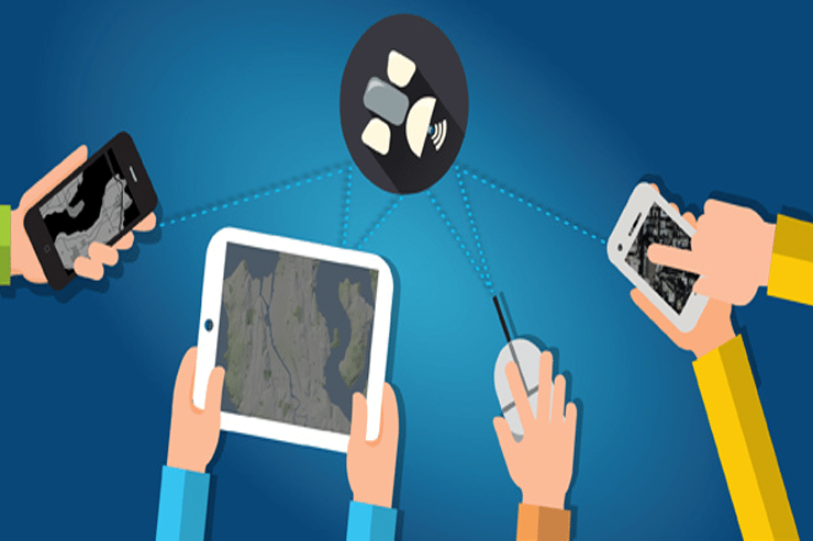
The web has changed the way that many of us obtain our spatial information. Here you can find maps, mapping applications, open data and imagery (aerial, orthophotography, and satellite) for regions all across Canada.
The Internet has changed the way that many of us obtain spatial information. More Canadian, Towns, Cities, and Municipalities have started to realize how geographic information can help benefit their citizens, and thanks to improved online access, we have started to see more mapping applications and online access to geospatial data.
We use this section of the website to share places on the web where you can find maps, mapping applications, open data and imagery (aerial, orthophotography, and satellite) for regions all across Canada.
 This section will continue to grow and evolve as more Towns and Cities get involved with online mapping and make their geospatial data available to the public.
We also maintain a popular Free and Open Data Page that contains hundreds of sources of data for all Provinces and Territories.
If you know of anything related to Canadian geographic information, open data, or web mapping applications that you think we share with the thousands of viewers that frequent our site every day, then we would love to hear from you.
Over the past few years CanadianGIS.com has been highlighting and promoting various cities and provinces in Canada that have done a great job providing data and applications to the public.
We created this page a few years ago to collaborate links of all the open geospatial data info (sites that offer data downloads at no cost and without restrictions), fee based geospatial data, online web mapping applications and other great sources of geospatial information (including National, Provincial and Regional levels).
This comprehensive list of open geospatial data, fee based geospatial data, web mapping applications and cartographic products is a valuable asset to many people (… we get hundreds of emails and requests regarding “Where can I find data for …?”) so we continue to update it with new information and sources of Canadian data sets.
This handy color shaded relief map of the world including oceans was created from the NOAA ETOPO1 data set and was intended to be used with handheld Garmin GPS units, but can also make a nice colorful back ground image to use in Google Earth. Find out how to download this free resource …
This handy color shaded relief map of the world including oceans was created from the NOAA ETOPO1 data set and was intended to be used with handheld Garmin GPS units, but can also make a nice colorful back ground image to use in Google Earth. Find out how to download this free resource …
This handy color shaded relief map of the world including oceans was created from the NOAA ETOPO1 data set and was intended to be used with handheld Garmin GPS units, but can also make a nice colorful back ground image to use in Google Earth. Find out how to download this free resource …
