The Climate Atlas
Climate change is an issue that impacts every single one of us, directly or indirectly. Making meaningful choices can help us address this issue, no matter which aspects of life it affects.
The Climate Atlas of Canada is an innovative tool for citizens, researchers, businesses, and policy makers to comprehend climate change in Canada. Combining scientific data, mapping, and stories, it brings the complex issue of climate change down to a local level and encourages action and solutions. The Atlas explains what climate change is, how it affects Canada and what these changes mean in our communities.
The goal of the mapping application is to help make climate change more meaningful and engaging to Canadian Citizens
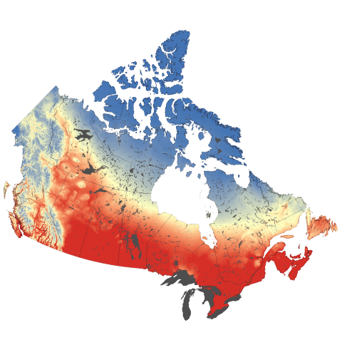
Users can explore a variety of climate change aspects with maps, graphs, and climate data for provinces, regions, and cities. Additionally, documentary videos, developed with knowledgeable community and Indigenous leaders, give personal perspectives on the reality and implications of climate change in Canada.
The Atlas is the only resource of its kind that combines interactive web design with climatology, cinema, and cartography to connect scientific information with personal experience in an accessible manner.
The Climate Atlas of Canada is part of a national suite of climate data portals. Also check out Climate Data Canada (provides high-resolution climate data to help decision makers build a more resilient Canada.), PAVICS – Power Analytics and Visualization for Climate Science (provides access to several data collections ranging from observations, and climate projections).
Geospatial Data
![World Shaded Relief KMZ file [free download] World Shaded Relief Map](https://canadiangis.com/wp-content/uploads/World-Shaded-Relief-Map-1-1030x578.jpg) https://canadiangis.com/wp-content/uploads/World-Shaded-Relief-Map-1.jpg
1068
1904
tmackinnon
https://canadiangis.com/wp-content/uploads/CanadianGIS-rec-logo-2021-v4.png
tmackinnon2023-11-09 21:22:202023-11-09 20:50:38World Shaded Relief KMZ file [free download]
https://canadiangis.com/wp-content/uploads/World-Shaded-Relief-Map-1.jpg
1068
1904
tmackinnon
https://canadiangis.com/wp-content/uploads/CanadianGIS-rec-logo-2021-v4.png
tmackinnon2023-11-09 21:22:202023-11-09 20:50:38World Shaded Relief KMZ file [free download] https://canadiangis.com/wp-content/uploads/2016/07/CanadianGIS-opendata.png
493
740
tmackinnon
https://canadiangis.com/wp-content/uploads/CanadianGIS-rec-logo-2021-v4.png
tmackinnon2023-03-29 19:41:562023-05-16 12:41:55Canadian Open Data and Free Geospatial Data
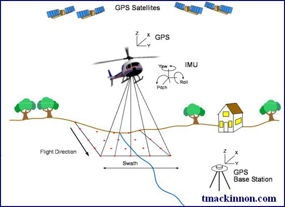 https://canadiangis.com/wp-content/uploads/LIDAR_setup2.jpg
422
579
tmackinnon
https://canadiangis.com/wp-content/uploads/CanadianGIS-rec-logo-2021-v4.png
tmackinnon2023-03-08 18:08:132023-05-16 12:45:16Canadian Lidar Data
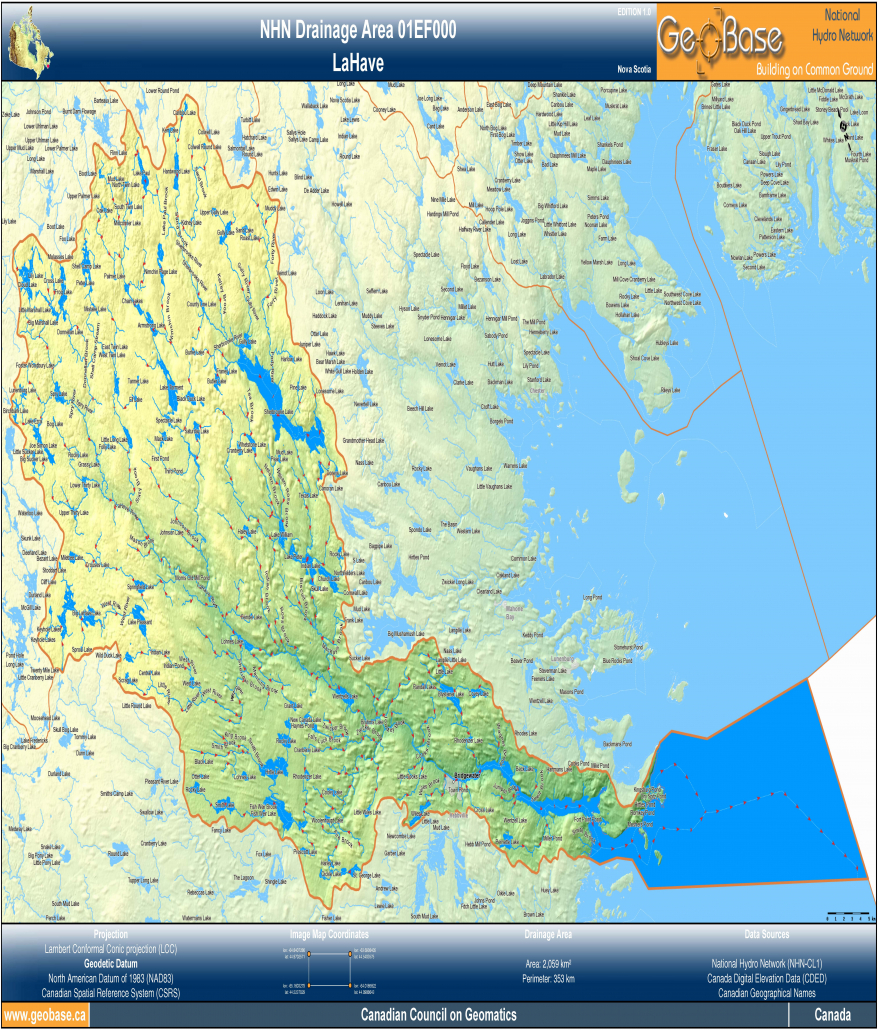 https://canadiangis.com/wp-content/uploads/nhn_rhn_01ef000_en.jpg
7098
6048
tmackinnon
https://canadiangis.com/wp-content/uploads/CanadianGIS-rec-logo-2021-v4.png
tmackinnon2023-01-09 20:45:402023-01-09 20:41:47National Hydro Network (NHN) – Canadian Open Data
 https://canadiangis.com/wp-content/uploads/Nova-Scotia-Open-Data-Portal.jpg
266
400
tmackinnon
https://canadiangis.com/wp-content/uploads/CanadianGIS-rec-logo-2021-v4.png
tmackinnon2021-11-04 20:48:102021-11-04 21:24:30Nova Scotia Open Data Portal
 https://canadiangis.com/wp-content/uploads/Official-Canadian-Geographical-Names-Data.png
306
382
tmackinnon
https://canadiangis.com/wp-content/uploads/CanadianGIS-rec-logo-2021-v4.png
tmackinnon2021-05-21 10:22:582021-05-21 22:20:19Official Canadian Geographical Names Data
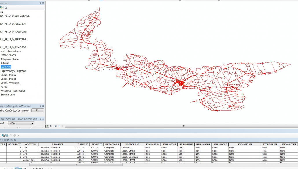 https://canadiangis.com/wp-content/uploads/NRN-shapefile.jpg
988
1740
tmackinnon
https://canadiangis.com/wp-content/uploads/CanadianGIS-rec-logo-2021-v4.png
tmackinnon2021-03-01 08:51:382021-04-16 18:47:35National Road Network (NRN) – Canadian Open Data
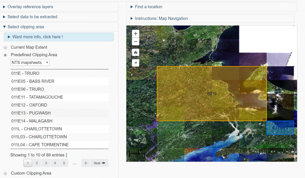 https://canadiangis.com/wp-content/uploads/Canadian-Geospatial-Data-Extraction-Tool.png
1083
1851
tmackinnon
https://canadiangis.com/wp-content/uploads/CanadianGIS-rec-logo-2021-v4.png
tmackinnon2019-12-05 14:51:112019-12-04 10:57:24Canadian Geospatial Data Extraction Tool
https://canadiangis.com/wp-content/uploads/Canadian-Geospatial-Data-Extraction-Tool.png
1083
1851
tmackinnon
https://canadiangis.com/wp-content/uploads/CanadianGIS-rec-logo-2021-v4.png
tmackinnon2019-12-05 14:51:112019-12-04 10:57:24Canadian Geospatial Data Extraction ToolHistoric Cartography
 https://canadiangis.com/wp-content/uploads/2016/07/CanadianGIS-opendata.png
493
740
tmackinnon
https://canadiangis.com/wp-content/uploads/CanadianGIS-rec-logo-2021-v4.png
tmackinnon2023-03-29 19:41:562023-05-16 12:41:55Canadian Open Data and Free Geospatial Data
 https://canadiangis.com/wp-content/uploads/Fortress-of-Louisburg-Maps-.png
266
400
tmackinnon
https://canadiangis.com/wp-content/uploads/CanadianGIS-rec-logo-2021-v4.png
tmackinnon2023-02-04 16:00:512023-02-04 15:53:32Fortress of Louisburg Maps
 https://canadiangis.com/wp-content/uploads/Alberta-1921-sm1.jpg
574
450
tmackinnon
https://canadiangis.com/wp-content/uploads/CanadianGIS-rec-logo-2021-v4.png
tmackinnon2023-02-02 20:54:392023-05-16 14:56:551921 Map of Alberta
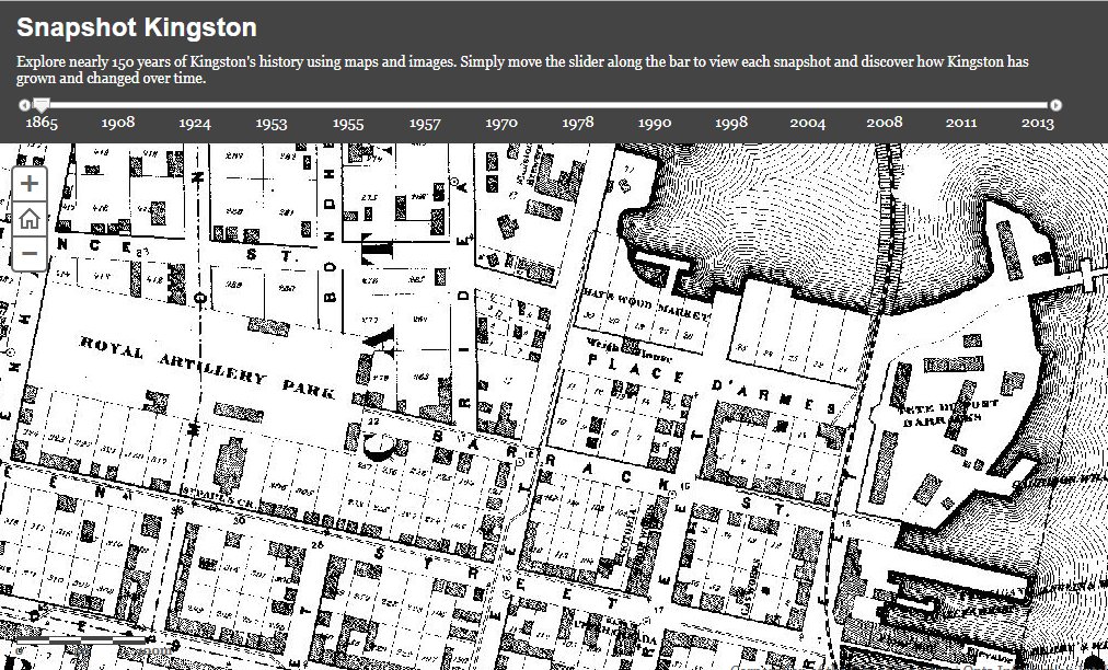 https://canadiangis.com/wp-content/uploads/Snapshot-Kingston.jpg
612
1012
tmackinnon
https://canadiangis.com/wp-content/uploads/CanadianGIS-rec-logo-2021-v4.png
tmackinnon2023-01-18 13:45:422023-01-18 13:43:54Explore nearly 150 years of Kingston History using Maps and Aerial Images
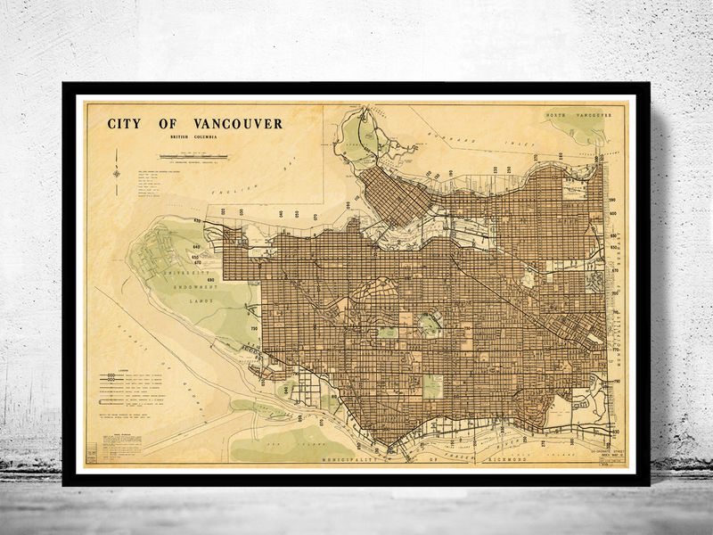 https://canadiangis.com/wp-content/uploads/2016/07/vancouver_1970_23_5_35_frame_2_grande.jpg
600
800
tmackinnon
https://canadiangis.com/wp-content/uploads/CanadianGIS-rec-logo-2021-v4.png
tmackinnon2023-01-03 18:50:072023-01-13 13:44:13Vancouver Historic Maps and Plans
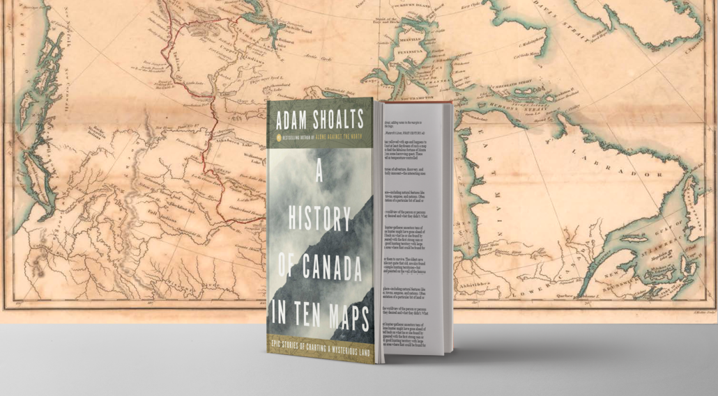 https://canadiangis.com/wp-content/uploads/History-of-Canada-in-10-Maps.png
939
1700
tmackinnon
https://canadiangis.com/wp-content/uploads/CanadianGIS-rec-logo-2021-v4.png
tmackinnon2022-03-28 15:20:302022-03-28 15:20:06History of Canada in 10 Maps
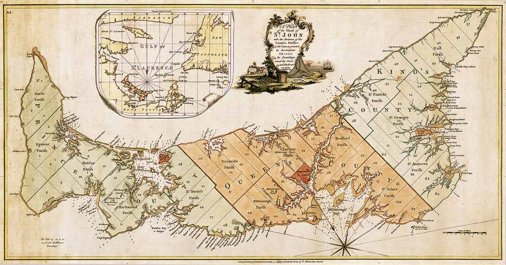 https://canadiangis.com/wp-content/uploads/Historic-Map-Prince-Edward-Island-.jpg
639
1216
tmackinnon
https://canadiangis.com/wp-content/uploads/CanadianGIS-rec-logo-2021-v4.png
tmackinnon2021-07-30 13:00:152023-05-16 16:18:09Historic Maps of Prince Edward Island
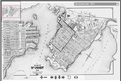 https://canadiangis.com/wp-content/uploads/City-of-Saint-John-Maps-Plans-and-Historical-Data.jpg
266
400
tmackinnon
https://canadiangis.com/wp-content/uploads/CanadianGIS-rec-logo-2021-v4.png
tmackinnon2021-05-04 14:14:132023-05-16 16:12:58City of Saint John Maps, Plans and Historical Data

