![World Shaded Relief KMZ file [free download] World Shaded Relief Map](https://canadiangis.com/wp-content/uploads/World-Shaded-Relief-Map-1-495x400.jpg)
World Shaded Relief KMZ file [free download]
/
0 Comments
This handy color shaded relief map of the world including oceans was created from the NOAA ETOPO1 data set and was intended to be used with handheld Garmin GPS units, but can also make a nice colorful back ground image to use in Google Earth. Find out how to download this free resource ...

Canadian Open Data and Free Geospatial Data
Over the past few years CanadianGIS.com has been highlighting and promoting various cities and provinces in Canada that have done a great job providing data and applications to the public.
We created this page a few years ago to collaborate links of all the open geospatial data info (sites that offer data downloads at no cost and without restrictions), fee based geospatial data, online web mapping applications and other great sources of geospatial information (including National, Provincial and Regional levels).
This comprehensive list of open geospatial data, fee based geospatial data, web mapping applications and cartographic products is a valuable asset to many people (... we get hundreds of emails and requests regarding "Where can I find data for ...?") so we continue to update it with new information and sources of Canadian data sets.

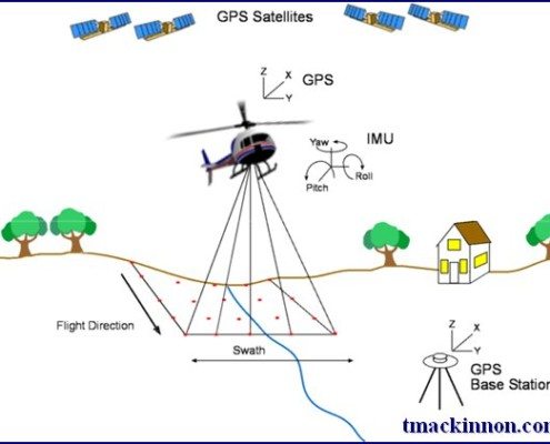
Canadian Lidar Data
Since starting our Open Data Resources page in 2010, we have received thousands of requests from people looking for various geospatial data to use with their geospatial projects. We now have an ongoing list of places where you can find Canadian Lidar Data that is available to use for free.
We hope that as more people start using this data and that the geospatial community will help us add more Canadian LiDAR Data sources to this page ...

National Hydro Network (NHN) – Canadian Open Data
The National Hydro Network (NHN) is a seamless geospatial vector data set with attributes that represents Canada’s framework of inland surface waters. It was created from different databases as part of the GeoBase Surface Water Program, to help with flow analysis, watershed management, environmental and hydrographical applications, as well as a multitude of other cartographic applications.

Nova Scotia Open Data Portal
Recently Nova Scotia joined the growing number of Canadian Provinces and Municipalities that offer open data, when it officially launched the Nova Scotia open data portal providing public access to more than 135 different data sets
Open Data is about drawing on the collective knowledge and innovation of Nova Scotians to help grow our economy and improve the lives of those around us ...

Official Canadian Geographical Names Data
The Canadian Geographical Names Database (CGNDB) is a key Federal open data set that most geospatial users in Canada should be familiar with. It is Canada's authoritative source for all official geographical names, and their associated attributes. It can be accessed by ...

National Road Network (NRN) – Canadian Open Data
The National Road Network (NRN) is a seamless geospatial vector data containing Canadian road phenomena that provides access to over 1 million kilometres of up-to-date centerline road network data.

Canadian Geospatial Data Extraction Tool
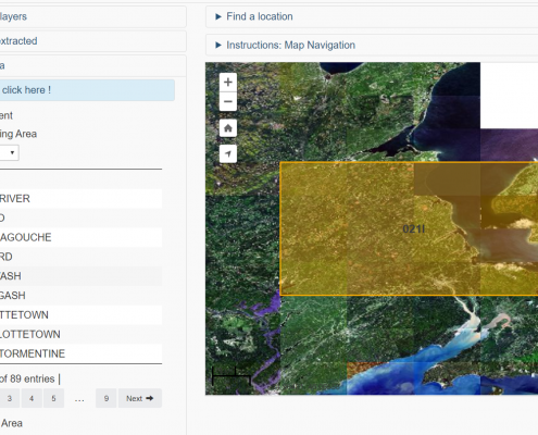
The Canadian Geospatial Data Extraction tool is a handy resource that allows users to extract seamless geospatial open data based on specific user-defined geographic area and data options

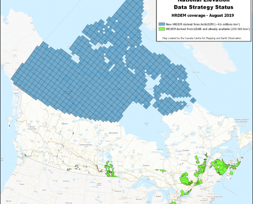
Canadian Arctic High Resolution Digital Elevation Model
Natural Resources Canada (NRCan) has recently produced a new release of the High Resolution Digital Elevation Model (HRDEM) product for the entire Canadian Arctic and made it available to download from the Open Government Portal. It allows ...
