Fortress of Louisburg Maps
Fortress of Louisburg Maps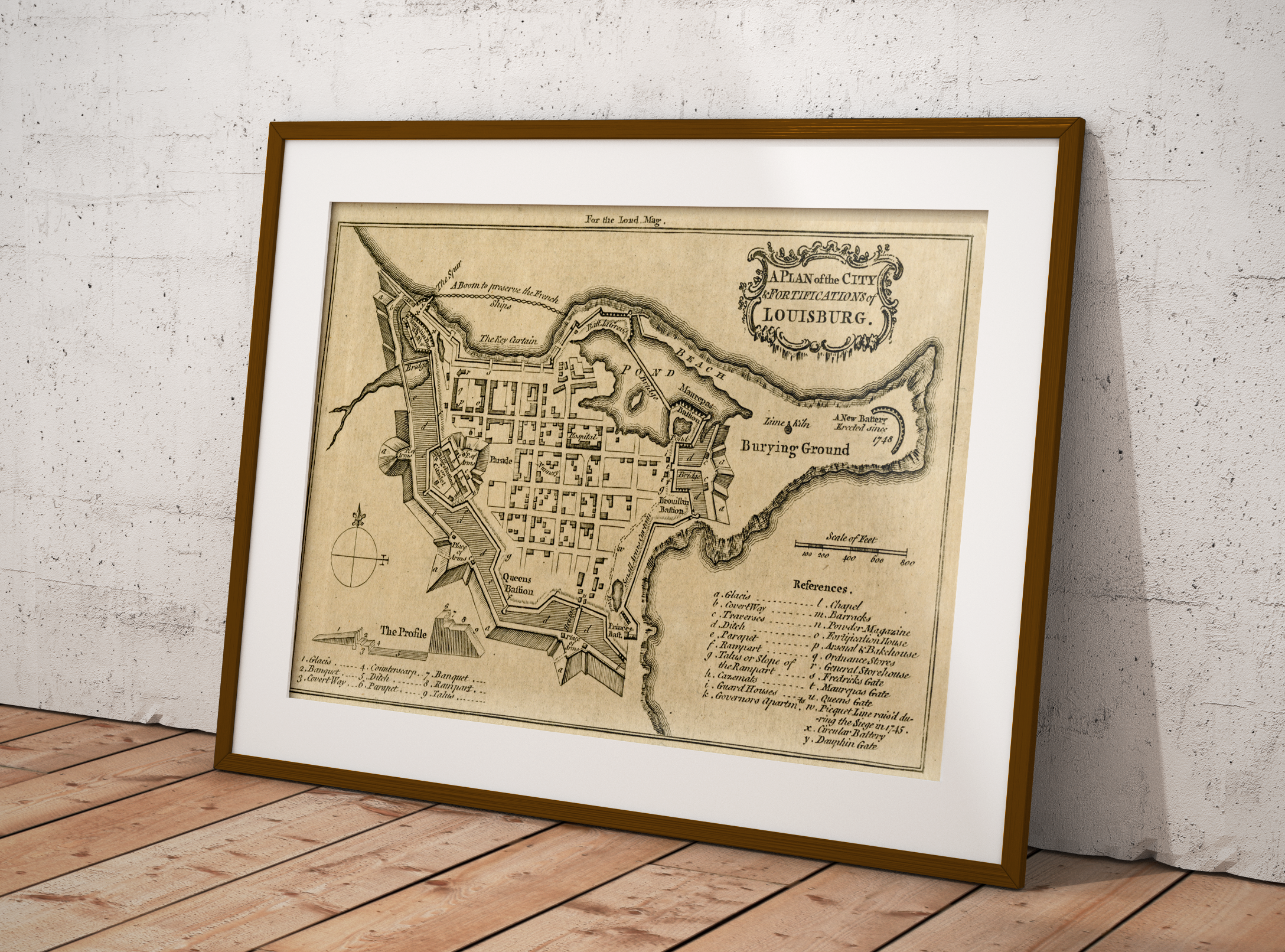
The Fortress of Louisbourg is a Canadian National Historic Site located in Cape Breton, Nova Scotia. The reconstructed replica represents what the French fortress would have been like back in the 1700s. The location for the fortress was chosen because it allowed the French to easily defend against British ships attempting to attack the St. Lawrence River.
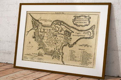
Recently we purchased some old maps at a yard sale, and one of the old map books contained a tattered map featuring the Fortress of Louisbourg that we scanned, cleaned up in photo-shop and then reproduced.
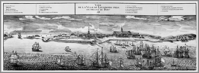
While searching for the date and source of our map print we also noticed that there have been several old Fortress of Louisbourg maps created and have included a few of the links that we found below.
If you know of other links or sources and wish to share them then let us know and we include them below for others to discover.
Fortress of Louisburg Maps
 Early Printed Maps Of Canada III Chapter 7 – includes many references to plans and maps
- Louisbourg 1746 MHS from the Massachusetts Historical Society collections
- 1758 Plan of the City & Fortifications of Louisburg (produced for the London Magazine in 1758)
- 1734 Louisbourg Town Plan, Early History Of Nova Scotia (Acadia)
- 1748 Louisbourg
- Davids of New France – great historical information and several images and plans
- David Rumsey Collection – various different scans from different available
- Interesting modern online map of the current fortress. http://www.fortressoflouisbourg.ca/louisbourgMap.html
[page originally published February 2016]
Recently Google Street view has captured the majority of grounds at Fortress of Louisbourg so people can experience the National Historic Site from anywhere in the world.

