Canadian Historic Maps

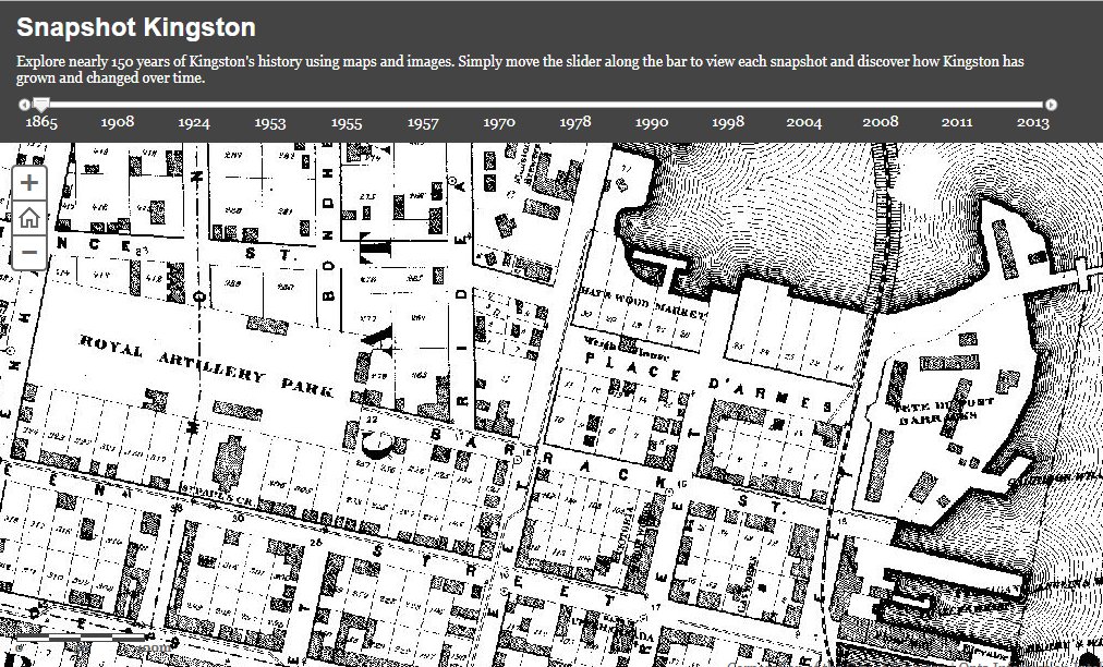
The City of Kingston has created an online mapping application called Snapshot Kingston, that allows people to easily explore nearly 150 years of Kingston history using maps and aerial images.

Users can enter an address and view related historic maps and aerial photos at that spatial location dating back to 1865. They then can simply move the slider along the bar to discover how things have changed since over time.

Explore nearly 150 years of Kingston History using Maps and Aerial Images

Explore nearly 150 years of Kingston History using Maps and Aerial Images

A list of selected historical maps and images with facts about Kingston from various time periods have been prepared, so users can compare a given year’s imagery and maps with current aerial photography. https://www.cityofkingston.ca/explore/maps/historical

The introduction of Snapshot Kingston coincided with an update to the City’s interactive mapping system, KMaps, and the mapping section of the City’s website (www.CityofKingston.ca/maps), that includes several other interactive maps including the Culture Map, City Parks, and Capital Projects.

Check out Snapshot Kingston for yourself and explore Kingston history with maps …

Note: Some web browsers may not always load the mapping application on this page further below, if you run into that problem then try clicking here to load Snapshot Kingston.

Helping the Geospatial Community Appreciate Vintage Mapping Skills

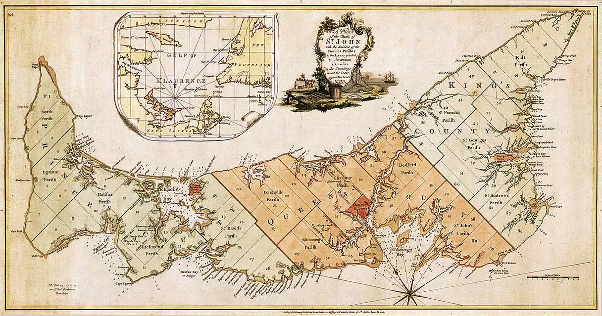
Historic Map of Prince Edward Island

The Canadian Historic Maps section of our web site is where we share vintage Canadian maps or old map collections that we think the geospatial community would love to explore. Click here to explore more historic maps …

If you have historic mapping resources that you would like us to share, then let us know.

Explore nearly 150 years of Kingston History using Maps and Aerial Images


Browse More Canadian Historic Maps

Canadian opendata
In, , , , , ,

Canadian Open Data and Free Geospatial Data

Over the past few years CanadianGIS.com has been highlighting and promoting various cities and provinces in Canada that have done a great job providing data and applications to the public.

We created this page a few years ago to collaborate links of all the open geospatial data info (sites that offer data downloads at no cost and without restrictions), fee based geospatial data, online web mapping applications and other great sources of geospatial information (including National, Provincial and Regional levels).

This comprehensive list of open geospatial data, fee based geospatial data, web mapping applications and cartographic products is a valuable asset to many people (… we get hundreds of emails and requests regarding “Where can I find data for …?”) so we continue to update it with new information and sources of Canadian data sets.