
Canadian Open Data and Free Geospatial Data
/
23 Comments
Over the past few years CanadianGIS.com has been highlighting and promoting various cities and provinces in Canada that have done a great job providing data and applications to the public.
We created this page a few years ago to collaborate links of all the open geospatial data info (sites that offer data downloads at no cost and without restrictions), fee based geospatial data, online web mapping applications and other great sources of geospatial information (including National, Provincial and Regional levels).
This comprehensive list of open geospatial data, fee based geospatial data, web mapping applications and cartographic products is a valuable asset to many people (... we get hundreds of emails and requests regarding "Where can I find data for ...?") so we continue to update it with new information and sources of Canadian data sets.
The Climate Atlas
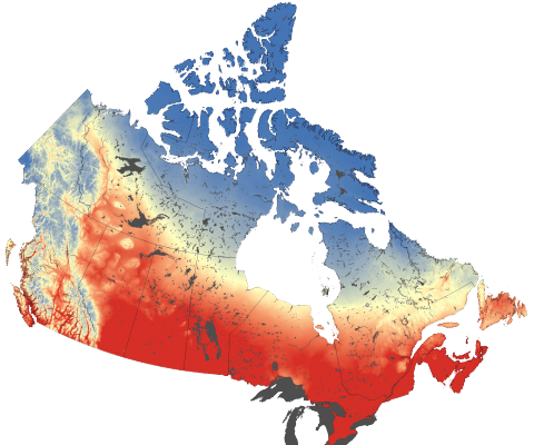
The Climate Atlas of Canada is an innovative tool allowing users to better comprehend climate change in Canada. It combines scientific data, mapping, and stories, and helps encourages action and solutions. The goal of the mapping application is to help make climate change more meaningful and engaging to Canadian Citizens. Check out how this online mapping application is helping to ...

Nova Scotia Civic Address Finder
The new improved Nova Scotia Civic Address Finder is an online mapping application used to allow the public to view civic address information, including civic numbers, street names and more ...
City of Saint John Maps, Plans and Historical Data
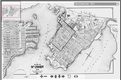
The Saint John maps collection includes an interactive atlas from 1875, compiled from official hand drawn plans and surveys. You will also find an interactive map of Historic Coastline and Fortifications and scanned copies of Murdoch-Lingley Survey Plans from 1920. Find out how you can download and use maps and images from the Saint John Historical Maps collection ...
Atlas of Mi’kmaw Place Names
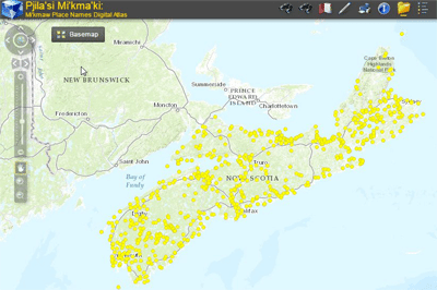
The most complete geographical representation ever created of Mi’kma’ki territory and Mi’kmaw Place Names, including an online interactive map with more than 700 place names derived from approximately 1500 names collected throughout Nova Scotia from interviews with Mi’kmaw Elders and others. Click here to browse the Atlas of Mi’kmaw Place Names ...

GeoIgnite: Leadership in Times of Disruption
Join us virtually this year for Canada’s National Geospatial Leadership: GeoIgnite conference on July 22nd to 24th, 2020!
GeoIgnite is a unique opportunity for geospatial community in Canada and abroad to learn, share and engage with one another at our virtual conference.
Interactive Pipeline Map
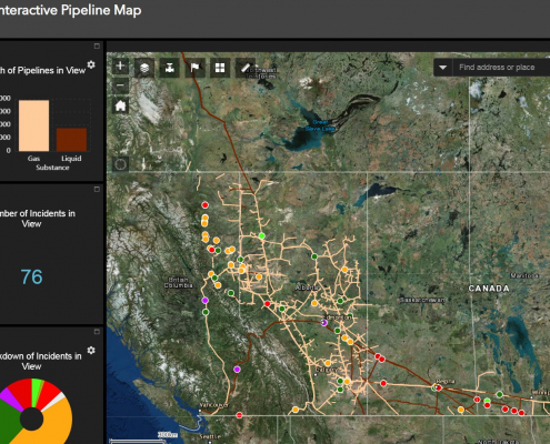
Canada has a vast network of pipelines that transport millions of litres of oil and gas every day. With this interactive mapping application, Canadians can easily identify where pipelines are located and find important related safety information.
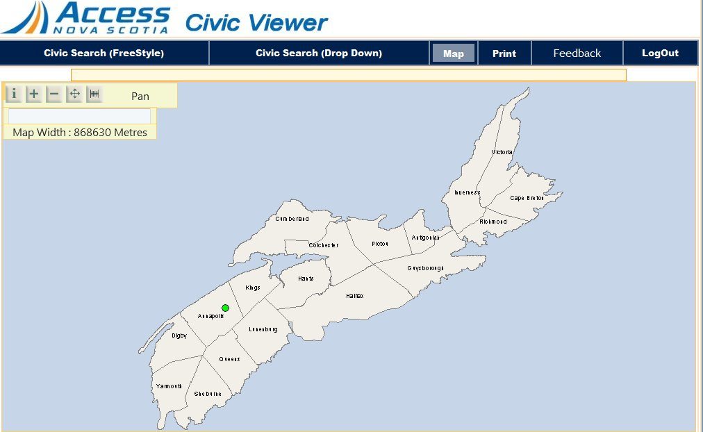
Nova Scotia Online Civic Map Viewer
The Nova Scotia Civic Viewer is the online mapping application used to view civic map information, with a free public viewer version and another version containing more information for certain parties that need more detailed information and the ability to update the information of the database.

Antipodes Maps
Have you ever thought where you would end up if you drilled a tunnel through the center of the Earth and climbed out the other side? Well that location is considered an antipodal point. The antipodes of any place on a globe is the point on the surface which is diametrically opposite to it. Have a little fun exploring geography with this interactive antipodes calculator map.

 Online