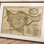
The most complete geographical representation ever created of Mi’kma’ki (territory inhabited by the Mi’kmaq) and Mi’kmaw Place Names is now available online thanks to the efforts of more than 100 people, spanning thousands of hours of work over five years.
Ta’n Weji-sqalia’tiek: Mi’kmaw Place Names Digital Atlas and Web Site was created to raise awareness of the deep connection the Mi’kmaq have to the landscape of Eastern Canada they call Mi’kma’ki, the place of the Mi’kmaq. Mi’kmaw presence has been continuous for approximately 13,000 years B.P., and continues to the present day, as can be seen by the place names and archaeological information presented throughout this site.
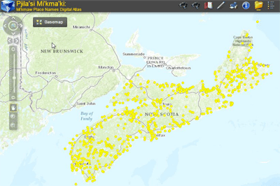 The digital Mi’kmaw Place Names atlas includes an online interactive map with more than 700 place names derived from approximately 1500 names collected throughout Nova Scotia from interviews with Mi’kmaw Elders and others.
The digital atlas also includes pronunciation, translations, etymology, and other features, such as photos and videos of some of the interviews. The user has the ability to customize the map by selecting various GIS layers including hydrology, terrain elevation, historical maps of Nova Scotia and much more.
[Page originally published October 2015]
Check out the Mi’kmawPlaceNames.ca mapping application below on this page or go to https://www.mapdev.ca/placenames/#/ if your browser has issues loading the map in the window below.
Browse More Nova Scotia Geospatial Resources:
Canadian Lidar Data
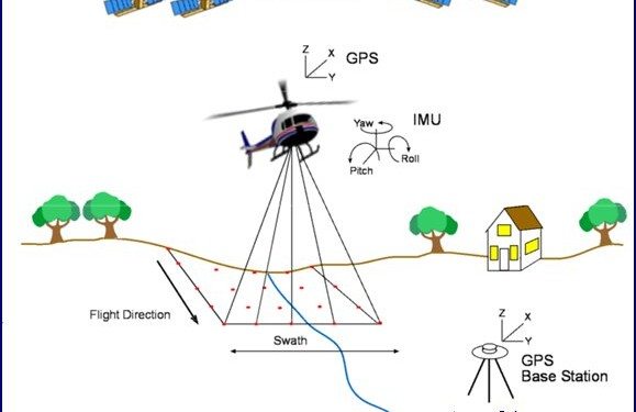
Since starting our Open Data Resources page in 2010, we have received thousands of requests from people looking for various geospatial data to use with their geospatial projects. We now have an ongoing list of places where you can find Canadian Lidar Data that is available to use for free.
We hope that as more people start using this data and that the geospatial community will help us add more Canadian LiDAR Data sources to this page …