 https://canadiangis.com/wp-content/uploads/Fundamentals-of-GIS-Applications-with-ArcGIS-.png
768
1365
tmackinnon
https://canadiangis.com/wp-content/uploads/CanadianGIS-rec-logo-2021-v4.png
tmackinnon2023-02-13 20:06:082023-05-16 13:29:09Fundamentals of GIS
https://canadiangis.com/wp-content/uploads/Fundamentals-of-GIS-Applications-with-ArcGIS-.png
768
1365
tmackinnon
https://canadiangis.com/wp-content/uploads/CanadianGIS-rec-logo-2021-v4.png
tmackinnon2023-02-13 20:06:082023-05-16 13:29:09Fundamentals of GISGIS Formats and Geospatial File Extensions
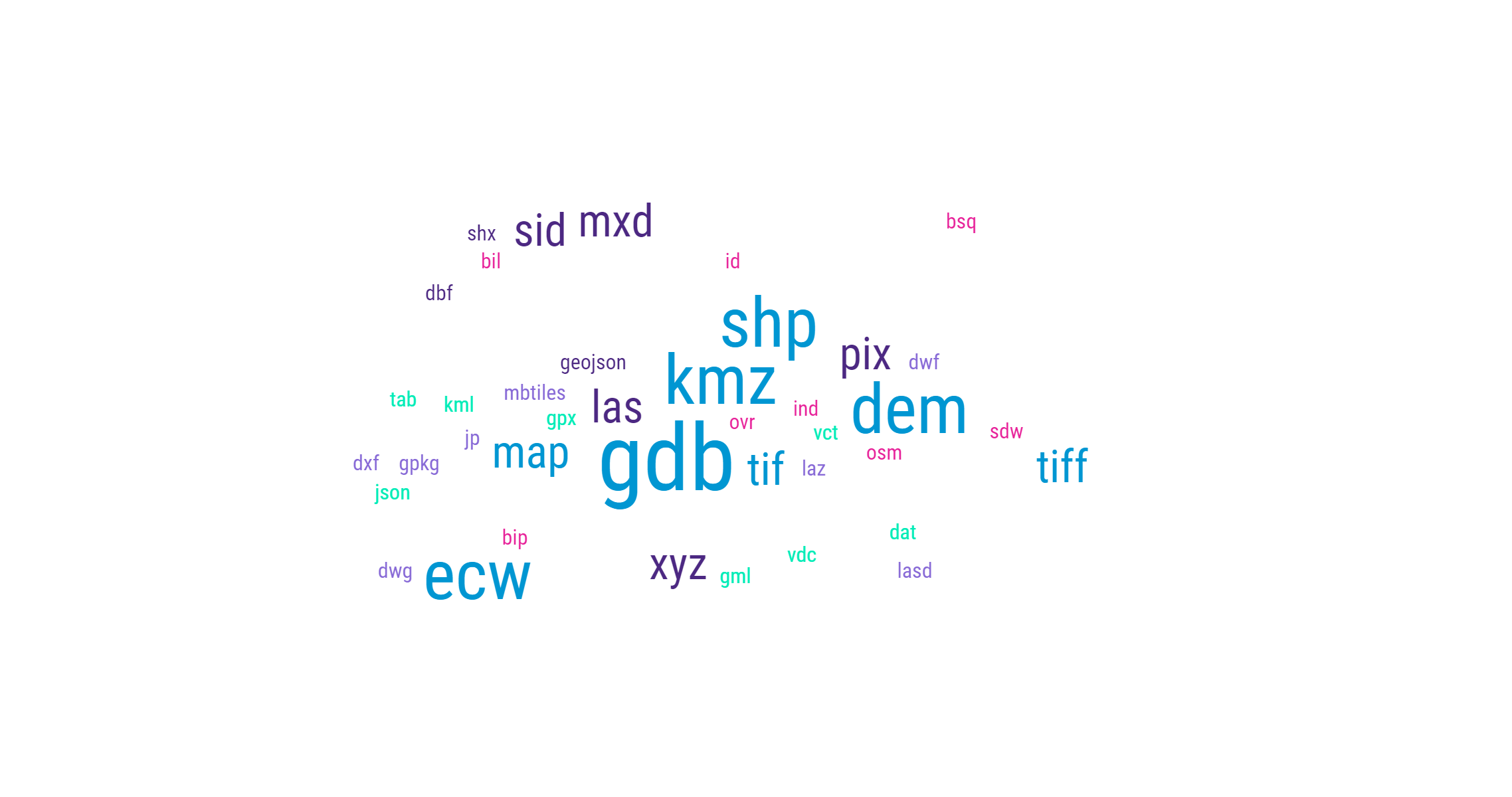
Geographic Information Systems (GIS) formats are specialized file types created to store and organize geographic data, including maps, databases, images, and other types of spatial data. These formats usually contain details about the geographic features’ location, shape, and characteristics, and can be utilized for various purposes, for example, mapping, analysis, and visualization
 Some common Geospatial File Extensions include:
- .SHP (shapefile): A widely-used format for storing vector data, such as points, lines, and polygons.
- .TAB (MapInfo TAB): A proprietary format developed by MapInfo for storing vector data.
- .KML (Keyhole Markup Language): An XML-based format used for storing geographic data and metadata, primarily for use in Google Earth and Google Maps.
- .GPX (GPS Exchange Format): An XML-based format used for storing GPS data, including waypoints, tracks, and routes.
- .GDB (File Geodatabase): A proprietary format developed by Esri for storing and managing geographic data, including vector data, raster data, and metadata.
- .TIF (TIFF): A raster image format that is often used for storing aerial and satellite imagery.
How well do you know your Geospatial File Extensions?
Encountering unfamiliar GIS formats or geospatial file extensions can be a daunting task for professionals, especially with the constant evolution of the geomatics sector. With various commercial and open-source software tools readily available to the geospatial community, it is common to come across new formats and extensions that one may not be familiar with.
To assist in this regard, the team of GIS evangelists from GISGeography.com have compiled a comprehensive list of GIS Formats and Geospatial File Extensions. While we do not consider it to be the ultimate list, it does contains a wide range of the more common and some lesser-known formats and geospatial file extensions that one may encounter during their geomatics career. They provide basic information about the formats and extensions, enough to provide a general understanding, and allow you to do some further research.
Keep in mind, that these are just a few examples of the many different GIS formats and file extensions that exist. Also remember, that not all GIS software support all formats.
If the page does not load in the box below, then click this link to open the page ( https://gisgeography.com/gis-formats )
[Page originally published January 2016]
Geospatial Books
 https://canadiangis.com/wp-content/uploads/Fundamentals-of-GIS-Applications-with-ArcGIS-.png
768
1365
tmackinnon
https://canadiangis.com/wp-content/uploads/CanadianGIS-rec-logo-2021-v4.png
tmackinnon2023-02-13 20:06:082023-05-16 13:29:09Fundamentals of GIS
 https://canadiangis.com/wp-content/uploads/Lindsey-the-GIS-Specialist-inside.png
2250
4000
tmackinnon
https://canadiangis.com/wp-content/uploads/CanadianGIS-rec-logo-2021-v4.png
tmackinnon2022-12-31 21:15:442022-12-31 21:08:30Lindsey the GIS Specialist – A GIS Mapping Story
 https://canadiangis.com/wp-content/uploads/2016/05/The-Amazing-MapMan-coloring-book-.png
266
400
tmackinnon
https://canadiangis.com/wp-content/uploads/CanadianGIS-rec-logo-2021-v4.png
tmackinnon2022-12-15 14:45:072023-05-16 15:59:07The Amazing MapMan coloring book
 https://canadiangis.com/wp-content/uploads/2016/06/Maps-and-Mapping-for-Canadian-Kids-2011.png
266
400
tmackinnon
https://canadiangis.com/wp-content/uploads/CanadianGIS-rec-logo-2021-v4.png
tmackinnon2022-07-18 13:01:342022-07-18 22:22:14Helping Children Learn Cartography
 https://canadiangis.com/wp-content/uploads/History-of-Canada-in-10-Maps.png
939
1700
tmackinnon
https://canadiangis.com/wp-content/uploads/CanadianGIS-rec-logo-2021-v4.png
tmackinnon2022-03-28 15:20:302022-03-28 15:20:06History of Canada in 10 Maps
 https://canadiangis.com/wp-content/uploads/Federal-Airborne-LiDAR-Data-Acquisition-Guideline-.png
2300
3500
tmackinnon
https://canadiangis.com/wp-content/uploads/CanadianGIS-rec-logo-2021-v4.png
tmackinnon2019-12-17 12:05:172019-12-17 12:16:14National Airborne LiDAR Data Acquisition Guideline
 https://canadiangis.com/wp-content/uploads/Online-GIS-for-Local-Government.png
720
1080
tmackinnon
https://canadiangis.com/wp-content/uploads/CanadianGIS-rec-logo-2021-v4.png
tmackinnon2019-09-25 11:59:142019-09-25 12:05:38Online GIS for Local Government
 https://canadiangis.com/wp-content/uploads/A-Life-worthwhile-1-1.jpg
3200
4000
tmackinnon
https://canadiangis.com/wp-content/uploads/CanadianGIS-rec-logo-2021-v4.png
tmackinnon2019-07-29 10:40:202022-12-09 16:08:23How COGS became the ‘Go to Place’ for Technical Map Training


