Canadian Boundary files (Open Data)
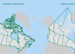
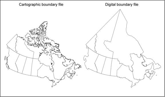
The Canadian Boundary files data comes in two types: cartographic and digital.
The Cartographic boundary files represent geographic areas using Canada’s main landmass and coastal islands. Digital boundary files, on the other hand, depict the complete extent of the geographic areas, including coastal water areas.
Both types of files utilize the Lambert conformal conic projection.
Administrative areas are defined, with a few exceptions, by Canadian federal and provincial/territorial statutes or agencies, and adopted by Statistics Canada for the purpose of data dissemination activities
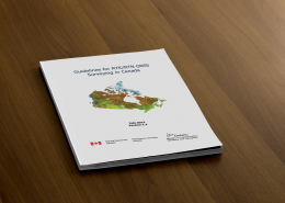
Reference guides are also available for help.
Start Using Canadian Boundary files (Open Data)
To download Canadian Boundary files open data go to Government of Canada


![World Shaded Relief KMZ file [free download] World Shaded Relief Map](https://canadiangis.com/wp-content/uploads/World-Shaded-Relief-Map-1-260x185.jpg)
