Posts

Canadian Boundary files (Open Data)
/
0 Comments
The Canadian Boundary files data comes in two types: cartographic and digital. The Cartographic boundary files represent geographic areas using Canada’s main landmass and coastal islands. Digital boundary files, on the other hand, depict the complete extent of the geographic areas, including coastal water areas.

Montreal 3D Buildings (Open Data)
Discover the Montreal 3D Buildings (open data) layers. Unleash the power of geographic information with access to a wealth of data on the city of Montreal’s architectural landscape that offers a virtual exploration of the city’s urban fabric. Whether you’re an urban planner, architect, or simply a curious enthusiast, our open data platform empowers you to unlock new insights and reimagine Montreal’s skyline.
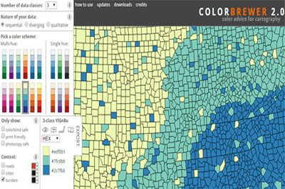
ColorBrewer Color Scheme Selector
ColorBrewer 2.0 is a simple online tool that helps you choose appropriate color schemes to use with your online mapping projects. It works with 3 different types of data schemes: sequential (data that ranges from low to high), diverging (data with equal an emphasis on critical values and extremes) or qualitative ( best suited for nominal or categorical data).
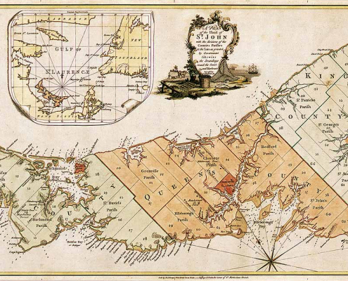
Historic Maps of Prince Edward Island
Historic Maps of Prince Edward Island that you can download include ...
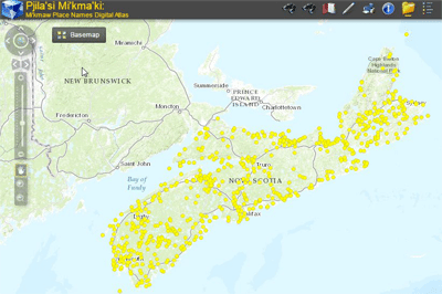
Atlas of Mi’kmaw Place Names
The most complete geographical representation ever created of Mi’kma’ki territory and Mi’kmaw Place Names, including an online interactive map with more than 700 place names derived from approximately 1500 names collected throughout Nova Scotia from interviews with Mi’kmaw Elders and others. Click here to browse the Atlas of Mi’kmaw Place Names ...
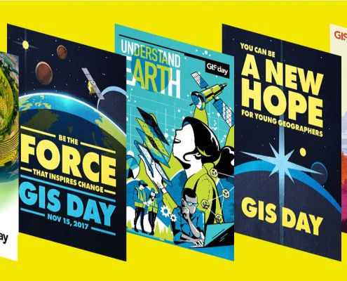
Free GIS Day Promotion Resources
GIS Day provides a forum for GIS users all over the world to demonstrate how real-world applications are making a difference in society. This year GIS day is Wednesday, November 13, 2019.
Download free resources provided to help you put together a fun and successful GIS Day event ...

Vancouver Map Flyover
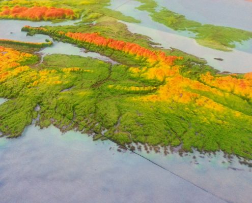
Check out this neat short film created using an old relief map of Vancouver from the 1970s that was hung on the walls in the Department of Geography at UBC for many years ...
3D Data Workshop
The event brought together the geospatial community from industry, non-profit groups, associations, academia and all levels of government. It showcased the latest information on the technologies and their applications in 3D Mapping and included presentations, discussions, demos, and poster displays promoting technologies, related to the latest collection, analysis, and visualization software / hardware, from GIS to Virtual and Augmented Reality.

From Geomatics to the fast approaching Autonomous World
Last week I was fortunate enough to attend the biggest technology show in the world, known by most techies as CES (Consumer Electronics Show). HERE, an international company based out of Germany known for data and location related services, included me in a group of professionals that they invited to experience their vision of an Autonomous Future and the products and services that they believe will help make it possible.
Using state of the art displays, over sized high-resolution screens and custom animation, they wowed visitors from the moment they stepped inside. Some of the highlights that I was able to take back from my time spent with the various staff of HERE are included here ...
