Posts
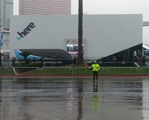
Location Technology will make an Autonomous Future a Reality
/
0 Comments
I was fortunate enough to be able to attend the 2018 Consumer Electronics Show, better known by most as CES thanks to HERE, who included me in a small group of professionals that they invited to Las Vegas to see how Location Technology is leading the way to an Autonomous Future. The main focus of the exhibit was show casing HERE's vision on the Autonomous Innovative Future built on location technology, including smart cities, autonomous vehicles, smart fleet tracking, advances in mobility, drones, and high speed transportation.
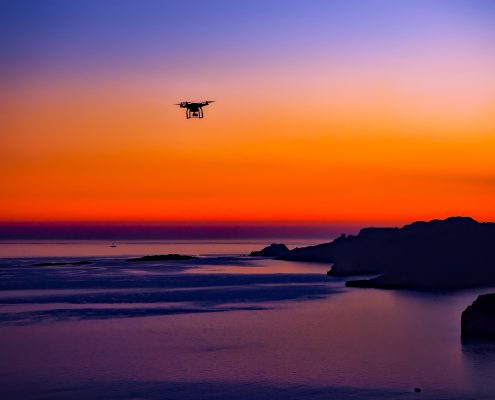
HERE and Unifly to map the airspace for drones
Soon it may not only be our roads that are congested. The growing popularity of drones, whether for recreational or commercial use, has highlighted the challenge of managing traffic in low-altitude airspace. Moreover, in the future Autonomous World, the traffic of both airborne and ground vehicles will need to be well orchestrated to ensure safety and efficiency.
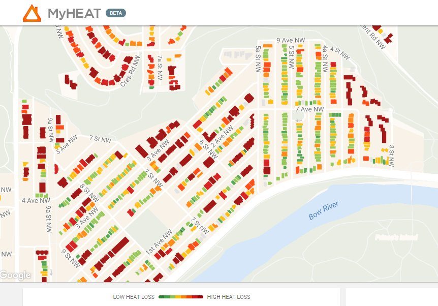
Canada’s first urban heat loss map of over 500,000 homes
MyHEAT Inc. launches a new way to reduce the cost of heating and cooling their homes, or commercial buildings, while also contributing to the fight against climate change. The MyHEAT platform gives the ability to visualize and compare the heat escaping from every building in a town or city, and is available free of charge.
As of today the platform is live in Calgary, Okotoks, Airdrie, Edmonton, and Sherwood Park, with over 500,000 houses profiled. Additional Alberta communities will be added over the coming months, with a planned roll out across major urban Canadian cities over the next year.
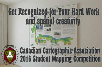
Canadian Cartographic Association Student Mapping Competition
Are you a University or College student passionate about mapping? Then you will want to participate in the 2015-16 Canadian Cartographic Association Student Mapping Competition. Chances are you have already made some great maps for your projects or course work, so why not submit a copy to the CCA Student Mapping Competition and get recognized for creating your spatial master piece while earning some cash at the same time. Then check this out ...
OpenStreetMap – the Power of the People
OpenStreetMap launched 10 years ago with the slogan of Free Wiki World Map has taken developers and map lovers by surprise, providing editable map data, making it easier for people to interact and navigate. So to help celebrate 10 years of OpenStreetMap we have created a series of articles dedicated to open source mapping and web applications that have been either built with or that make use of OpenStreetMap.
Creative Art/Map Competition for Nova Scotian Students
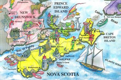
The Geomatics Association of Nova Scotia (GANS) have announced that they are hosting a Creative Art/Map Competition for Nova Scotian Students for International Map Year.
The creative mapping GANS contest is open to students of all grades including post secondary students and is intended to help encourage young people to participate in creative cartographic activities while learning more about the geography, heritage and history of Nova Scotia.
W. H. Pugsley Collection of Early Canadian Maps (1556 to 1857)
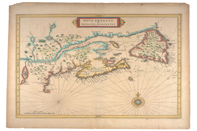
In 1971-72 Dr. William Howard Pugsley, donated his collection of early Canadian maps that he had collected during the late 1930s and World War II. Download digital scans of these 50 early Canadian historical maps published between 1556 to 1857 that help explain the discovery and exploration of early North America.
Digital Earth 2015 in Halifax
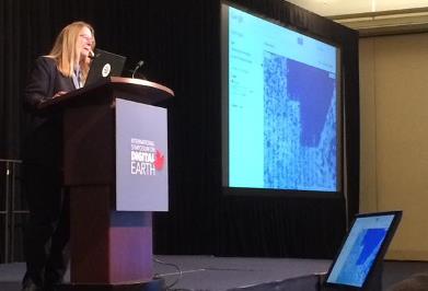
Digital Earth in Halifax explored a wide variety of geographic related theories, technologies, applications and achievements focused around planetary sciences, information technology, computer sciences, social sciences and big data. It was packed with multiple presenters from all over the world, here is a summary of it with photos & videos.
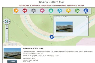
The Regina Online Culture Map
Information of various Regina events and activities can now be easily found on their online interactive Culture Web Map. With this neat little tool the city provides information on many of it's cultural resources. The web map is based on ESRI web server technology and has been looks rather sharp while keeping it as simple as can be so that it appeals to almost everyone.
