 https://canadiangis.com/wp-content/uploads/Fundamentals-of-GIS-Applications-with-ArcGIS-.png
768
1365
tmackinnon
https://canadiangis.com/wp-content/uploads/CanadianGIS-rec-logo-2021-v4.png
tmackinnon2023-02-13 20:06:082023-05-16 13:29:09Fundamentals of GIS
https://canadiangis.com/wp-content/uploads/Fundamentals-of-GIS-Applications-with-ArcGIS-.png
768
1365
tmackinnon
https://canadiangis.com/wp-content/uploads/CanadianGIS-rec-logo-2021-v4.png
tmackinnon2023-02-13 20:06:082023-05-16 13:29:09Fundamentals of GISRecently we created a more detailed page with sources of Nova Scotia Geospatial Data that you can download fee. If you are looking for Nova Scotia Geospatial Data then we suggest you check out that page as well.
Data is a vital role in geomatics related projects and for many years we have been helping people find Canadian data resources. We maintain several growing lists of mapping resources that are freely available to the geospatial community, from mapping applications that you use directly online or data that you download and use with your GIS software. Below is a list of Nova Scotia Maps & Data Resources that we gathered for the Geomatics Association of Nova Scotia to use on their website.
If you discover any problems with any of the links listed below or know of other good resources that we have not yet included below then please let us know so we can make that information available to the geospatial community.
Nova Scotia Maps & Data Resources
Nova Scotia Data
- National Road Network (NRN) – Nova Scotia
- Potential for Radon in Indoor Air – download digital Data Set used to create interactive map
- Halifax Open Data – HRM provides data related to Civic Addresses, Buildings, Street Networks, Trails, Parks, Recreation and much more that you can download to use with your own GIS software or open directly into ArcGIS.com
- LIDAR 5m Digital Elevation Model (DEM) for Halifax
- Shaded Relief Image derived From a 5 m LiDAR Bare-Earth Digital Elevation Model of the North Mountain Area, Digby, Annapolis and Kings Counties

- 20m Enhanced Digital Elevation Model (DEM)
- Abandoned Mines
- Surficial Geology
- Geochemistry
- Mineral Occurances
- Wet Areas Mapping and Flow Accumulation
- Significant Species and Habitats Database
- LandSat Mosaic of nova Scotia
- Ortho Imagery for Central Nova Scotia
- Nova Scotia from the Air – The Richard McCully Aerial Photograph Collection, 1931
Nova Scotia Interactive Web Maps
- Nova Scotia Wind Atlas
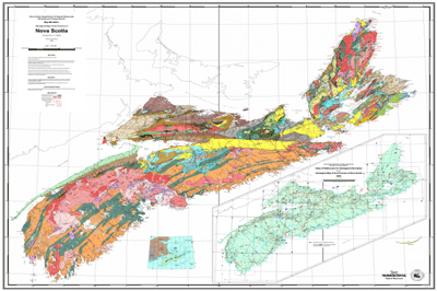
- GEONOVA Map Viewer
- Geology of Nova Scotia
- Nova Scotia Ground Water
- ViewPoint.ca, Nova Scotia’s Largest Real Estate database with interactive map
- Nova Scotia Spatial Referencing Viewer – use to search for Nova Scotia Survey Monuments
- Nova Scotia Civic Address Finder– use to search for civic addresses in Nova Scotia
- Nova Scotia Data Locator – use to find digital, paper or aerial photographic products from the Province of Nova Scotia and also an online tool for downloading free 1:10,000 topographic data from the Nova Scotia Topographic Database
- Nova Scotia Base Mapsfrom the Geography Network
- Mineral Resources Land-Use Atlas– on-line interactive map created from planimetric (1:50 000 scale) Mineral Resource Land-Use (MRLU) maps
- Map for Viewing Potential for Radon in Indoor Air
- Nova Scotia Significant Habitats, Wetlands and Vegetation
- Destination Nova Scotia Interactive Map- to help with planning a trip in Southwest Nova Scotia
- Elections Nova Scotia- electorial district finder
- Nova Scotia Gold Map
- Interactive Map of Truro

Nova Scotia Maps
- Crown Land Index Maps– use to download low resolution maps showing the location of crown land grants in Nova Scotia (issued between 1750 and 1850)
- Mineral Resources Land-Use Atlas– planimetric (1:50 000 scale) Mineral Resource Land-Use (MRLU) maps
- Potential for Uranium and Related Radionuclides in Groundwater in Nova Scotia
- Geoscience Maps, Databases and Images
- Maps of electoral districts in Nova Scotia
- Maps of Pictou County
- Maps of Windsor & Area
- Snowmobilers Association of Nova Scotia – PDF maps & GPS data
- Maps of Yarmouth & Acadian Shores
- Nova Scotia Solar Resource Maps
- Nova Scotia Color Shaded Relief Radarsat Map
- Impervious Surface Mapping of NS
- Nova Scotia Energy Map (anddetails to accompany map)
- Nova Scotia County Boundaries– a variety of PDF maps
Historic Nova Scotia Maps
- Crown Land Index Maps– use to download low resolution maps showing the location of crown land grants in Nova Scotia (issued between 1750 and 1850)
- Nova Scotia Archives– contains several scanned maps and plans from the 1700s, 1800s and early 1900s
- Nova Scotia from the Air– The Richard McCully Aerial Photograph Collection, 1931
- 1889 New Glasgow Map
- 1879 Perspective View of Halifax– by A. Ruger
- David Rumsey Cartographic Collection
- Illustrated historical atlas of Pictou County
More Geo Books
 https://canadiangis.com/wp-content/uploads/Fundamentals-of-GIS-Applications-with-ArcGIS-.png
768
1365
tmackinnon
https://canadiangis.com/wp-content/uploads/CanadianGIS-rec-logo-2021-v4.png
tmackinnon2023-02-13 20:06:082023-05-16 13:29:09Fundamentals of GIS
 https://canadiangis.com/wp-content/uploads/Lindsey-the-GIS-Specialist-inside.png
2250
4000
tmackinnon
https://canadiangis.com/wp-content/uploads/CanadianGIS-rec-logo-2021-v4.png
tmackinnon2022-12-31 21:15:442022-12-31 21:08:30Lindsey the GIS Specialist – A GIS Mapping Story
 https://canadiangis.com/wp-content/uploads/2016/05/The-Amazing-MapMan-coloring-book-.png
266
400
tmackinnon
https://canadiangis.com/wp-content/uploads/CanadianGIS-rec-logo-2021-v4.png
tmackinnon2022-12-15 14:45:072023-05-16 15:59:07The Amazing MapMan coloring book
 https://canadiangis.com/wp-content/uploads/2016/06/Maps-and-Mapping-for-Canadian-Kids-2011.png
266
400
tmackinnon
https://canadiangis.com/wp-content/uploads/CanadianGIS-rec-logo-2021-v4.png
tmackinnon2022-07-18 13:01:342022-07-18 22:22:14Helping Children Learn Cartography
 https://canadiangis.com/wp-content/uploads/History-of-Canada-in-10-Maps.png
939
1700
tmackinnon
https://canadiangis.com/wp-content/uploads/CanadianGIS-rec-logo-2021-v4.png
tmackinnon2022-03-28 15:20:302022-03-28 15:20:06History of Canada in 10 Maps
 https://canadiangis.com/wp-content/uploads/Federal-Airborne-LiDAR-Data-Acquisition-Guideline-.png
2300
3500
tmackinnon
https://canadiangis.com/wp-content/uploads/CanadianGIS-rec-logo-2021-v4.png
tmackinnon2019-12-17 12:05:172019-12-17 12:16:14National Airborne LiDAR Data Acquisition Guideline
 https://canadiangis.com/wp-content/uploads/Online-GIS-for-Local-Government.png
720
1080
tmackinnon
https://canadiangis.com/wp-content/uploads/CanadianGIS-rec-logo-2021-v4.png
tmackinnon2019-09-25 11:59:142019-09-25 12:05:38Online GIS for Local Government
 https://canadiangis.com/wp-content/uploads/A-Life-worthwhile-1-1.jpg
3200
4000
tmackinnon
https://canadiangis.com/wp-content/uploads/CanadianGIS-rec-logo-2021-v4.png
tmackinnon2019-07-29 10:40:202022-12-09 16:08:23How COGS became the ‘Go to Place’ for Technical Map Training
https://canadiangis.com/wp-content/uploads/A-Life-worthwhile-1-1.jpg
3200
4000
tmackinnon
https://canadiangis.com/wp-content/uploads/CanadianGIS-rec-logo-2021-v4.png
tmackinnon2019-07-29 10:40:202022-12-09 16:08:23How COGS became the ‘Go to Place’ for Technical Map TrainingHistoric Cartography
 https://canadiangis.com/wp-content/uploads/2016/07/CanadianGIS-opendata.png
493
740
tmackinnon
https://canadiangis.com/wp-content/uploads/CanadianGIS-rec-logo-2021-v4.png
tmackinnon2023-03-29 19:41:562023-05-16 12:41:55Canadian Open Data and Free Geospatial Data
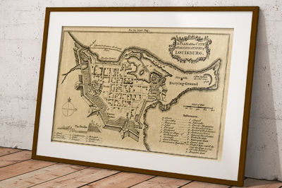 https://canadiangis.com/wp-content/uploads/Fortress-of-Louisburg-Maps-.png
266
400
tmackinnon
https://canadiangis.com/wp-content/uploads/CanadianGIS-rec-logo-2021-v4.png
tmackinnon2023-02-04 16:00:512023-02-04 15:53:32Fortress of Louisburg Maps
 https://canadiangis.com/wp-content/uploads/Alberta-1921-sm1.jpg
574
450
tmackinnon
https://canadiangis.com/wp-content/uploads/CanadianGIS-rec-logo-2021-v4.png
tmackinnon2023-02-02 20:54:392023-05-16 14:56:551921 Map of Alberta
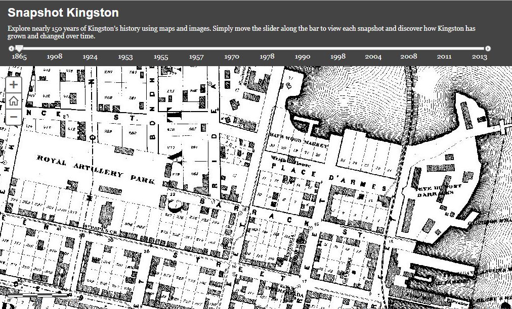 https://canadiangis.com/wp-content/uploads/Snapshot-Kingston.jpg
612
1012
tmackinnon
https://canadiangis.com/wp-content/uploads/CanadianGIS-rec-logo-2021-v4.png
tmackinnon2023-01-18 13:45:422023-01-18 13:43:54Explore nearly 150 years of Kingston History using Maps and Aerial Images
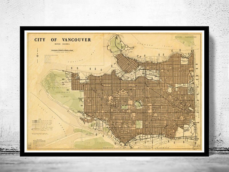 https://canadiangis.com/wp-content/uploads/2016/07/vancouver_1970_23_5_35_frame_2_grande.jpg
600
800
tmackinnon
https://canadiangis.com/wp-content/uploads/CanadianGIS-rec-logo-2021-v4.png
tmackinnon2023-01-03 18:50:072023-01-13 13:44:13Vancouver Historic Maps and Plans
 https://canadiangis.com/wp-content/uploads/History-of-Canada-in-10-Maps.png
939
1700
tmackinnon
https://canadiangis.com/wp-content/uploads/CanadianGIS-rec-logo-2021-v4.png
tmackinnon2022-03-28 15:20:302022-03-28 15:20:06History of Canada in 10 Maps
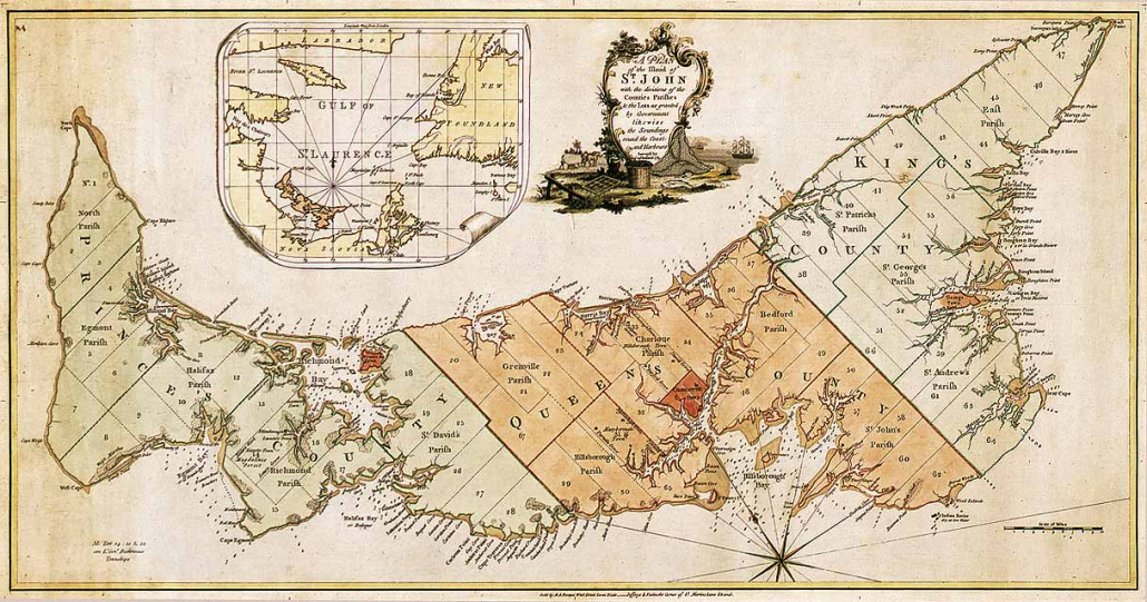 https://canadiangis.com/wp-content/uploads/Historic-Map-Prince-Edward-Island-.jpg
639
1216
tmackinnon
https://canadiangis.com/wp-content/uploads/CanadianGIS-rec-logo-2021-v4.png
tmackinnon2021-07-30 13:00:152023-05-16 16:18:09Historic Maps of Prince Edward Island
 https://canadiangis.com/wp-content/uploads/City-of-Saint-John-Maps-Plans-and-Historical-Data.jpg
266
400
tmackinnon
https://canadiangis.com/wp-content/uploads/CanadianGIS-rec-logo-2021-v4.png
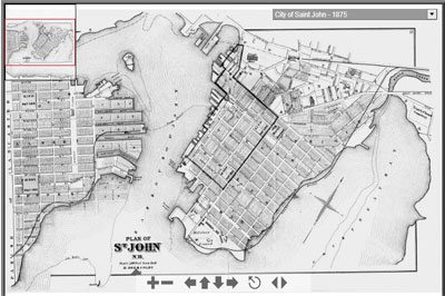
tmackinnon2021-05-04 14:14:132023-05-16 16:12:58City of Saint John Maps, Plans and Historical Data


