Prince Edward Island Maps
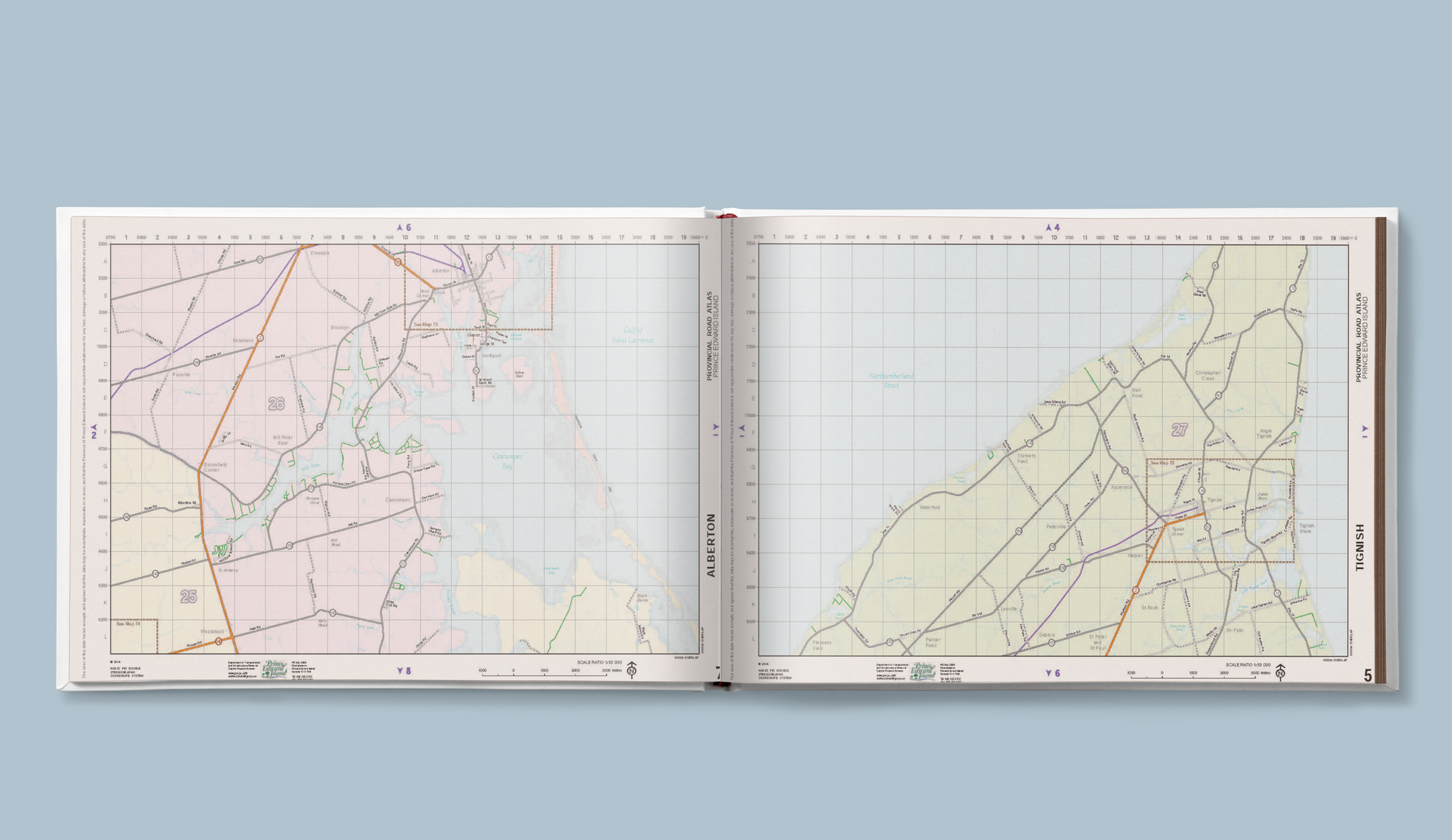
The PEI Road Atlas provides a comprehensive overview of all roads, including road types, and other valuable geographic information featuring the province of Prince Edward Island
The full color Prince Edward Island maps used in this atlas were created using GIS data sources from various provincial governmnet departments including the PEINRN (Prince Edward Island National Road Network).
Free download of the 100 page Prince Edward Island Road Atlas is provided from within the PEI GIS Data Catalog http://www.gov.pe.ca/gis/ where you can also find Prince Edward Island open data and other geospatial data sets.
Prince Edward Island Atlas – Open Data and Spatial Web Mapping
Looking for Canadian Open Data & maps? Then check out our free geospatial data section


