Certificate in Geographic Information Systems (GIS) & Remote Sensing
Get certified by York University’s Certificate in Geographic Information Systems (GIS) & Remote Sensing. This program understands that together GIS and remote sensing are the backbone to many decision-making systems and location-based services emerging in the decades to come.
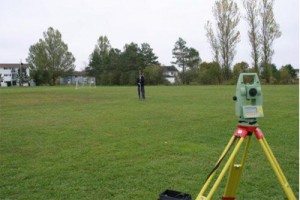
It prepares students with hands on technical training, allowing students to develop skills in areas dealing with spatial analysis applications, topographical surveying, geospatial database development, cartographic imaging, and project planning.
The program is heavy loaded in remote sensing which is a good thing. Satellite data is becoming more abundant and free to the whole world. York University’s GIS program puts you in the right path for your own career in the field of GIS and remote sensing.
Videos
Note: The content provided in this section of our website is crowd sourced / community driven and comes from multiple sources which are provided when possible.
If you would like to contribute more information, or advise us of any incorrect details about the program highlighted here on this page then please feel free to contact us. feedback is always welcome.


