Download Satellite Image Analysis and Terrain Modelling
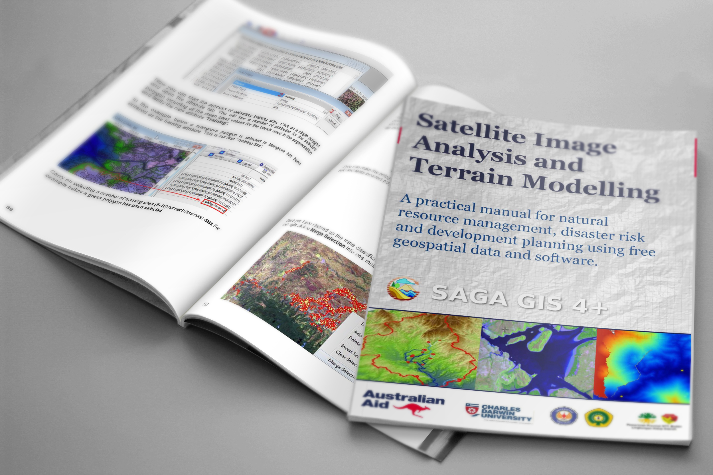
Satellite Image Analysis and Terrain Modelling – A practical manual for natural resource management, disaster risk and development planning using free geospatial data and software by Fisher, R., Hobgen, S., Mandaya, I., Kaho, N.R. and Zulkarnain (2017).
The manual was developed as a collaboration between 3 universities in Eastern Indonesia and Australia ( Charles Darwin University, UNDANA University and Haluoleo University with support from the Australian Government. It utilizes a robust open source software package called SAGA (System for Automated Geoscientific Analyses) GIS.
Click here to download the Satellite Image Analysis and Terrain Modelling Manual
and find out below how you can download the free SAGA GIS open source software …
SAGA GIS Open Source Software
One of the main advantages of using open-source software is that it is updated regularly, resulting in more bugs being discovered and fixed quickly.
Open source software often benefits from the geospatial user community that provides new ideas and suggestions to improve processing options that gets incorporated regularly into new versions. This makes Open source software generally more robust and more reliable then commercial software packages.
SAGA GIS is portable software so you can run the software on any computer without having to install it first, you can simply run it straight from a hard drive (or copy the unzipped files to a USB flash drive and run SAGA GIS, allowing it to load and run in your PC’s memory.
Click here to download the latest version of SAGA GIS software
also check out some of the free tutorials below to help you get started using SAGA GIS …
SAGA GIS tutorials
The SAGA GIS website provides various sets of online resources focused on learning remote sensing and terrain analysis applications. It is created with easy to follow instructions with screen shots, videos and lots of examples high lighting some key features of the remote sensing / GIS software.
The SAGA GIS tutorials provide an overview of some key processes including:
- Accessing free satellite image and elevation data
- Satellite image classification, including OBIA methods.
- Basic terrain analysis
- Coordinate transformations
- Integrated satellite image and hydrological modeling applications
- Service access and emergency response modelling using satellite and terrain data.


