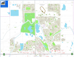
Download Town of Strathmore, Alberta Open Data and pre made maps
City of Regina Open Data opened, five years after the start of the Open Government Program, the City of Regina encourages everyone to explore and make use of the open data sets that they make available ...
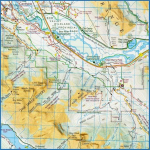
The Taber Open Data collection includes LiDAR data, digital elevation models, topographic data and much more ...
1967 is a very significant date in Saint John’s history. It was the year that the City of Saint John was amalgamated with the neighboring City of Lancaster, Parish of Lancaster and Parish of Simonds.
As a result of amalgamation, the City’s area grew from 54km2 to 366km2.
Sliding the center bar left and right will allow you to see how much the City has changed since 1967.
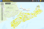
The Mi’kmaw Place Names atlas includes an online interactive map with more than 700 place names derived from approximately 1500 names collected throughout Nova Scotia from interviews with Mi’kmaw Elders and others.
It includes pronunciation, translations, etymology, and other features, such as photos and videos of some of the interviews. The user has the ability to customize the map by selecting various GIS layers including hydrology, terrain elevation, historical maps of Nova Scotia and much more.
City of Saint John Map Viewer
The City of St. Albert is committed to providing free public access to municipal data. Sharing their data supports transparency, accountability, innovation, economic development, and stakeholder engagement. The St. Albert Open Data Catalogue is powered by ESRI’s ArcGIS Open Data platform.
The Saskatchewan Geological Survey is responsible for investigating, compiling and maintaining information on the geology, and mineral and petroleum resources of the province. They have various maps and data on the economic and general geology of Saskatchewan ...


