The Nova Scotia Wind Atlas is a project of the Nova Scotia Department of Energy developed in a partnership with the K.C. Irving Chair in Sustainable Development at the University of Moncton and the Applied Geomatics Research Group at the Nova Scotia Community College.
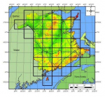
The province of New Brunswick offers a digital High Resolution Wind Resource that they call the New Brunswick Wind Atlas on their Service New Brunswick (SNB) website. The provinces wind data set is tiled into smaller higher resolution thematic maps of New Brunswick matching their topographic mapping network grid and depicting “Mean Wind Speeds (m/s) at 80 m AGL (above ground level)”
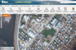
GeoYukon map viewer allows users to search, display, print and download the Yukon Government’s authoritative spatial data. Data is provided as a free public service.
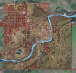
The Town of Turner Valley Geographic Information System (GIS) provides residents, visitors, businesses and developers with information such as zoning, addressing, points of interest, road names and ortho photos. Please click on the link below to access the GIS mapping portal.
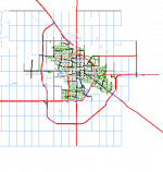
The City of Regina Open Data website provides the public with "self-serve" access to city data/information for download or viewing in different formats. Members of the public can access the information to do data analysis, mapping, chart creation or develop applications.
The COVID-19 Situational Awareness Dashboard provides up to date details on the COVID-19 pandemic in Canada.
The Town of Okotoks provides a variety of interactive maps, prepared digital maps and GIS data layers.
SIGÉOM is a unique spatial reference geomining information system.
It contains the entire Québec geoscientific database collected over the past 150 years. Every year, it grows richer with additional data coming from geological mapping surveys, prospection and exploration activities undertaken by the Ministry, mining companies and universities


