Download Town of Strathmore, Alberta Open Data and pre made maps
The City of St. Albert is committed to providing free public access to municipal data. Sharing their data supports transparency, accountability, innovation, economic development, and stakeholder engagement. The St. Albert Open Data Catalogue is powered by ESRI’s ArcGIS Open Data platform.
The Ville de Laval, the 3rd largest city in Quebec, is committed to opening up public data. It advocates open and transparent municipal management and a modernization of relations with citizens..
Browse the various Laval Open Data available ...
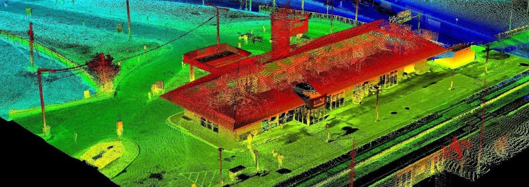
Since starting our Open Data Resources page in 2010, we have received thousands of requests from people looking for various geospatial data to use with their geospatial projects. We now have an ongoing list of places where you can find Canadian LiDAR Data that is available to use for free.
We will continue to add more Canadian LiDAR Data sources as we get them
Browse the various Sherbrooke Open Data available ...
The City of Rimouski, regional capital of Bas-Saint-Laurent, provides free, easy and free access to its public data in order to promote innovation and technological development.
Browse the various Rimouski open data available ...
Strathcona County is committed to enable any member of the public to ‘unleash the value’ within the Strathcona County Open Data catalogue. Individuals, groups or classrooms, businesses or the community at large are some of the users who may find value in the data.
The Government opened the Prince Edward Island Open Data portal in 2018 with almost 200 data sets listed, where you will find a wide range of data including roads, property, civic and many other geospatial data sets ...


