Download Canadian LandSat Images

Download Canadian LandSat Data
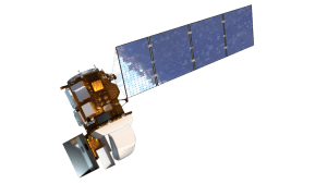
 The Landsat program is the longest running series of acquisition imagery based satellites, originally launched in 1972 as the Earth Resources Technology Satellite, it was later renamed to Landsat. Recently a new Landsat satellite was launched (Landsat 8), to help obtain further valuable imagery to be used in geomatics, agriculture, forestry, research, education, and many other industries.
Landsat satellites provide us with images created from reflected and emitted energy in a variety of different wavelengths from the electromagnetic spectrum.
The electromagnetic spectrum (shown in the image to the right) contains includes all radiated energy from gamma rays to radio waves, however the human eye is sensitive and can only view the visible portion of the spectrum (reflected light portion, ranging from violet to red).
 Unlike earlier versions, Landsats 7 and 8 provide images from the visible spectrum as well as near-infrared, mid-infrared, and thermal-infrared bands
Landsat data for Canadian regions are available for free download. Below you will find links to many Canadian LandSat images.
Download Canadian LandSat 7 Images
- LandSat 7 large Full Mosaic of Canada (note: large zip file in GB range)
- Landsat 7 Orthoimages of Canada Images are true color, composed of the 3 visible bands (bands 3, 2 and 1), in geotiff format at 15m resolution and are geometrically corrected with NAD83. Files are cropped to match the Canadian 1:50k National Topographic System (NTS), so you will need to know the map sheet index key to find your desired images.
- LandSat 7 large Full Mosaic of Canadian Arctic Region
- A LANDSAT viewer that you can download from


Leave a Reply
Want to join the discussion?Feel free to contribute!