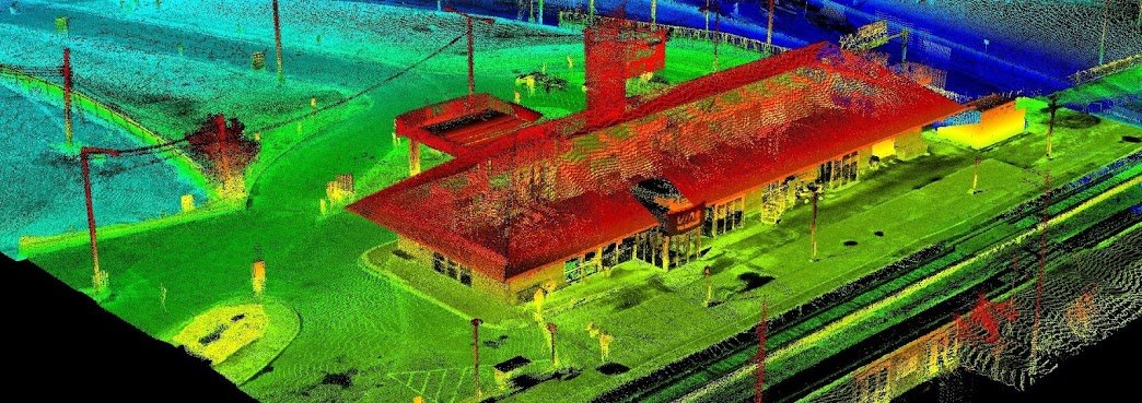
Since starting our Open Data Resources page in 2010, we have received thousands of requests from people looking for various geospatial data to use with their geospatial projects. We now have an ongoing list of places where you can find Canadian LiDAR Data that is available to use for free.
We will continue to add more Canadian LiDAR Data sources as we get them
Provide unmanned aerial and surface vehicle solutions to support engineering, inspection and mapping activities.
Utikuma Lake region is located in north-central Alberta. Open data for this area includes high-resolution satellite imagery, digital elevation models, LiDAR, topographic data, boundary data and more.
The City of Montréal promotes information sharing with the community and takes advantage of the collective wealth, by making its data accessible to everyone.
Browse the various MontréalOpen Data available ...
UAViation drone services suits many forestry and natural resource applications offering quick and cost-effective aerial imagery on demand. From glacier change modeling over time to erosion monitoring to forest health surveys, the list of ways we are using drones continues to grow.


