Type of Geospatial Resource
City of Whitehorse GIS Open Data
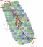
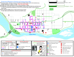
The City of Whitehorse GIS Open Data portal provides various data layers in CAD, GIS, and Google Earth formats. They also provide some pre-made digital maps and much more.
Download data sets related to base map data, transportation, environment, infrastructure, land use planning, municipal data, property, aerial photography, and many more.


