Posts
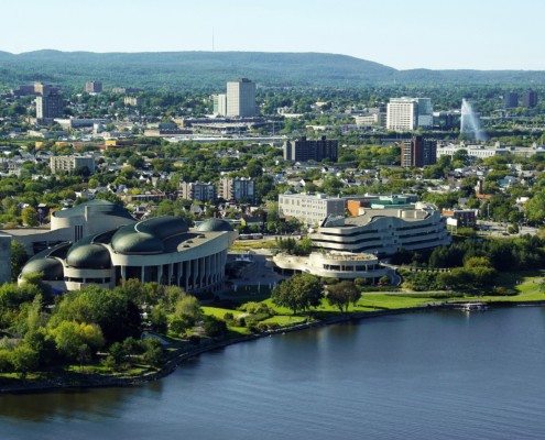
GIS jobs in Ottawa
Over the years Ottawa has evolved into a political and technological center of Canada and considered one of the best places to live in Canada. Check out some of the GIS jobs available in the Ottawa area ...

Professional Geomatics Associations and Groups in Canada
/
4 Comments
Professional organizations are great ways to network and discuss GIS topics with others in the same industry. Here are the professional geomatics related associations, groups and organizations in Canada ...

Upcoming Canadian Geospatial Career Fairs
Due to the incredible success of the Canadian Geospatial Career Fair held last June at the GeoIgnite Conference in Ottawa, GoGeomatics is now bringing this format to both Toronto and Vancouver in 2020. Find out more details and how to register ...
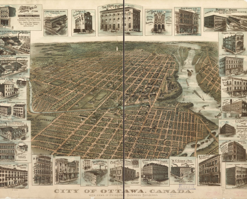
1895 Ottawa Panoramic Map
This 1895 Ottawa panoramic map provides viewers an oblique aerial view in a south direction from the east looking west up the Ottawa river. It contains detailed sketches of several principal business buildings at that time, that are displayed around the edges of the map. You also get a look at the transit rail system and a view of Parliament Hill before the big fire in 1916. Find out how to get a high resolution copy of this historic map ....

Carleton University Geomatics
The Carleton University BA in Geomatics exploring various applications in planning, environmental and resources management, hazard mapping, demographics, market analysis, and education. Practical experience will be gained in geomatics, cartography, remote sensing, and quantitative analysis.

2016 Back to School Socials
GoGeomatics Back to School SocialsCanadianGIS.com have been involved in GoGeomatics Socials since 2010 when we helped start the first one in Ottawa, and are happy to again help support all the upcoming 2016 GoGeomatics Back to School Socials taking place in September.
So come join the Geospatial Community as they come together to celebrate new-comers to the geomatics sector at the third annual Back to School Canada wide Social Event

DJI Phantom Drone Ottawa Aerial Footage
Downtown Ottawa is the central area of National Capital Region and like many other down towns it is also the commercial and economic center. Situated along the Ottawa River Valley across the river from Gatineau, Ottawa is a scenic city as evident in this breathtaking aerial footage captured with a DJI Phantom Drone taken along the Ottawa River and the Ottawa Canal.
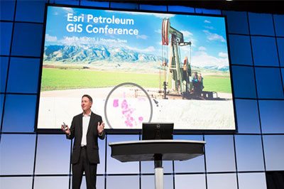
GIS Conference and Events in Canada
Attending a geomatics event or professional conference is a great way to keep update about what is currently happening in the Geomatics industry and also an opportunity to have a good time while networking and mingling with others.
Many organizations across Canada offer great conferences and events, so the Conference and Events section provides free information about the various GIS related conferences, events, workshops, training and webinars that are available to or could be of related interest to other Canadians.
Some upcoming geomatics related conference and events in Canada include ...

Would you support a National Geospatial Student Union
200 young geomatics students & professionals were asked if they would support a Canadian National Geospatial Student Union if it provided opportunities such as jobs and co-operatives opportunities or internship positions?"
The response was over whelming as 83% of the 200 participants responded that, they would support a Canadian National Geospatial Student Union.
