Posts
Canadian Lidar Data
/
1 Comment
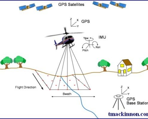
Since starting our Open Data Resources page in 2010, we have received thousands of requests from people looking for various geospatial data to use with their geospatial projects. We now have an ongoing list of places where you can find Canadian Lidar Data that is available to use for free.
We hope that as more people start using this data and that the geospatial community will help us add more Canadian LiDAR Data sources to this page ...
Fortress of Louisburg Maps
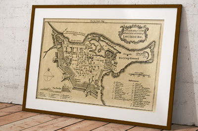
Recently we purchased some old maps at a yard sale, and one of the old map books contained a tattered map featuring the Fortress of Louisbourg that we scanned, cleaned up in photo-shop and then reproduced. While searching for the date and source of our map print we also noticed that there have been several old Fortress of Louisbourg maps created and have included a few the links here to share with others ...

Nova Scotia Civic Address Finder
The new improved Nova Scotia Civic Address Finder is an online mapping application used to allow the public to view civic address information, including civic numbers, street names and more ...

Nova Scotia Open Data Portal
Recently Nova Scotia joined the growing number of Canadian Provinces and Municipalities that offer open data, when it officially launched the Nova Scotia open data portal providing public access to more than 135 different data sets
Open Data is about drawing on the collective knowledge and innovation of Nova Scotians to help grow our economy and improve the lives of those around us ...
Atlas of Mi’kmaw Place Names
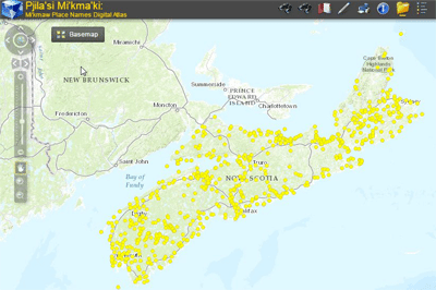
The most complete geographical representation ever created of Mi’kma’ki territory and Mi’kmaw Place Names, including an online interactive map with more than 700 place names derived from approximately 1500 names collected throughout Nova Scotia from interviews with Mi’kmaw Elders and others. Click here to browse the Atlas of Mi’kmaw Place Names ...

How COGS became the ‘Go to Place’ for Technical Map Training
The education programs offered at COGS has evolved and changed drastically over the years, however COGS has maintained an international reputation for the ability to design, develop and deliver high quality technical professionals that continue to populate the geospatial community. Find out how to download various literature about the history of COGS.
Historical Maps of Nova Scotia
The Province of Nova Scotia provides online access to a variety of maps and survey plans from historic map collections, find out how you can download some of these historic maps of Nova Scotia ...

Nova Scotia GIS jobs
Looking for GIS jobs in Nova Scotia? Try checking out some of the various employment opportunities listed here (this is a dynamic page so is updated often) or use the job search tools in our geomatics employment section ...
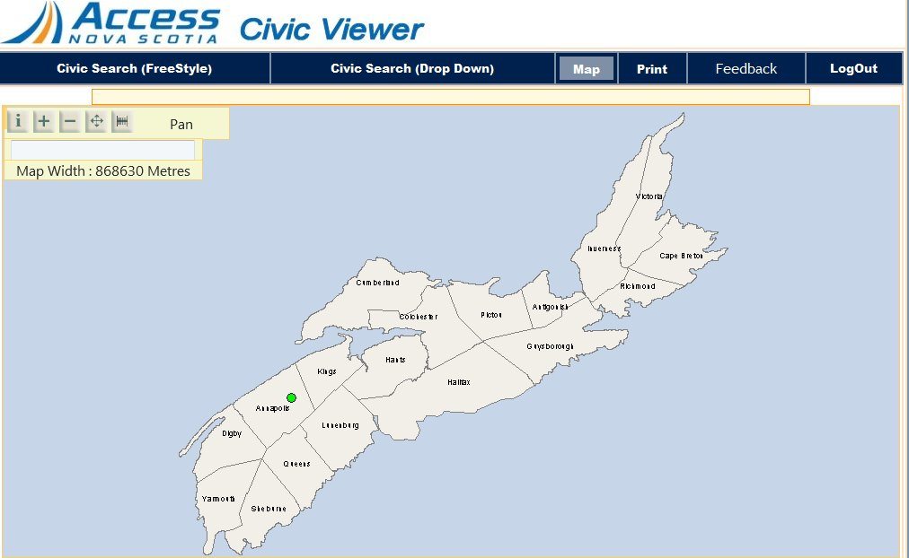
Nova Scotia Online Civic Map Viewer
The Nova Scotia Civic Viewer is the online mapping application used to view civic map information, with a free public viewer version and another version containing more information for certain parties that need more detailed information and the ability to update the information of the database.
