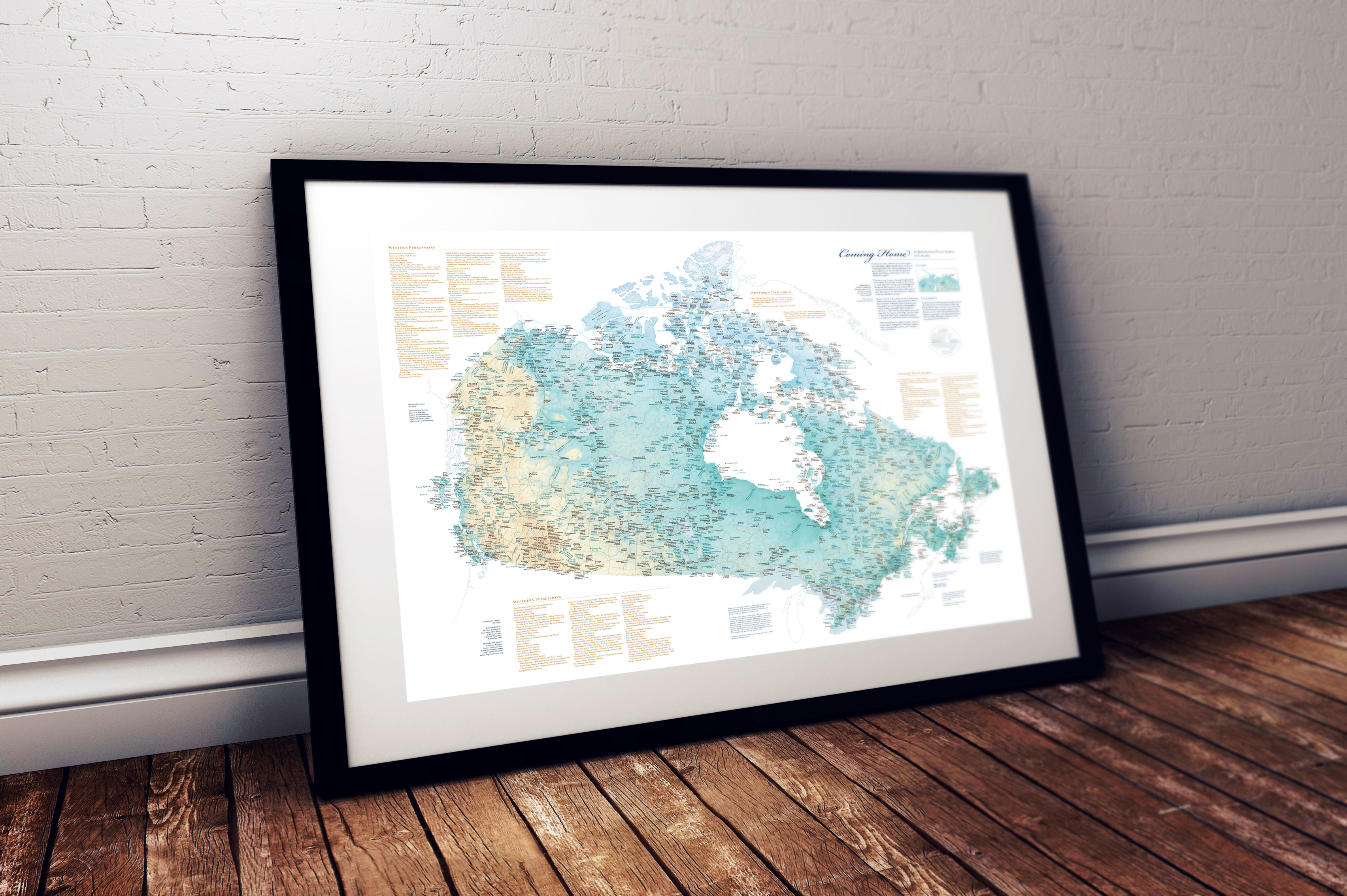
 Maps allow us to explore new places, obtain better understanding about our surroundings, and gain a greater appreciation of the world around us. Maps can also be used to illustrate complex information in a way that is easy to understand. They can be used to help us make decisions and plan strategies. From helping us locate nearby restaurants to plotting out the safest route to a destination, maps are essential tools in our daily lives.
 https://canadiangis.com/wp-content/uploads/google_map_maker1.jpg
681
1209
tmackinnon
https://canadiangis.com/wp-content/uploads/CanadianGIS-rec-logo-2021-v4.png
tmackinnon2011-10-31 13:20:482018-01-08 13:04:12Map Maker for Canada
https://canadiangis.com/wp-content/uploads/google_map_maker1.jpg
681
1209
tmackinnon
https://canadiangis.com/wp-content/uploads/CanadianGIS-rec-logo-2021-v4.png
tmackinnon2011-10-31 13:20:482018-01-08 13:04:12Map Maker for Canada https://canadiangis.com/wp-content/uploads/gis-and-geomatics-18.png
2133
3200
tmackinnon
https://canadiangis.com/wp-content/uploads/CanadianGIS-rec-logo-2021-v4.png
tmackinnon2011-03-13 15:27:252019-08-26 16:14:46ArcGIS Desktop Application Tutorials
https://canadiangis.com/wp-content/uploads/gis-and-geomatics-18.png
2133
3200
tmackinnon
https://canadiangis.com/wp-content/uploads/CanadianGIS-rec-logo-2021-v4.png
tmackinnon2011-03-13 15:27:252019-08-26 16:14:46ArcGIS Desktop Application Tutorials