Geospatial Resource
Type of Geospatial Resource
The PEI Road Atlas provides a comprehensive overview of all roads, including road types, and other valuable geographic information featuring the province of Prince Edward Island.
Geospatial Resource
Type of Geospatial Resource
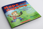
Maps and Mapping for Canadian Kids is a really great resource for helping children learn cartography. It shows them how maps are made, how they work and teaches them how to read maps including basic principles of navigation and how early explorers were able to chart the world, and Canada in particular.


