Type of Geospatial Resource
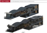
Excelsior Measuring and BIM LiDAR Consulting provide support for the construction industry via 3D Laser LiDAR Scanning. They have a highly trained, friendly team whose goal is to ensure you have a positive experience from beginning to end. Their field techs are professional and highly trained
- Laser scanning for facility coordination
- Collecting geospatial data
- Survey mapping
- CAD Drawings
- BIM Models
- Point Cloud Data (Raw Data)
- LiDAR
- Aerial Photogrammetry
- and more


