Posts

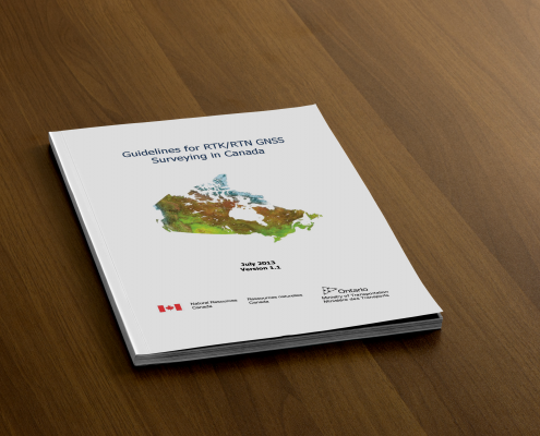
Guidelines for Real Time Kinematic (RTK) Surveying
/
1 Comment
Both RTK & RTN GNSS surveying can allow people to achieve relative positioning with centimetre (cm) precision, however there are several important factors that need to be considered and thus a need for a good guide of best practices (equipment calibration, errors, multipath, geometry, etc.).

Canadian Boundary files (Open Data)
The Canadian Boundary files data comes in two types: cartographic and digital. The Cartographic boundary files represent geographic areas using Canada’s main landmass and coastal islands. Digital boundary files, on the other hand, depict the complete extent of the geographic areas, including coastal water areas.

Canadian Open Data and Free Geospatial Data
Over the past few years CanadianGIS.com has been highlighting and promoting various cities and provinces in Canada that have done a great job providing data and applications to the public.
We created this page a few years ago to collaborate links of all the open geospatial data info (sites that offer data downloads at no cost and without restrictions), fee based geospatial data, online web mapping applications and other great sources of geospatial information (including National, Provincial and Regional levels).
This comprehensive list of open geospatial data, fee based geospatial data, web mapping applications and cartographic products is a valuable asset to many people (... we get hundreds of emails and requests regarding "Where can I find data for ...?") so we continue to update it with new information and sources of Canadian data sets.

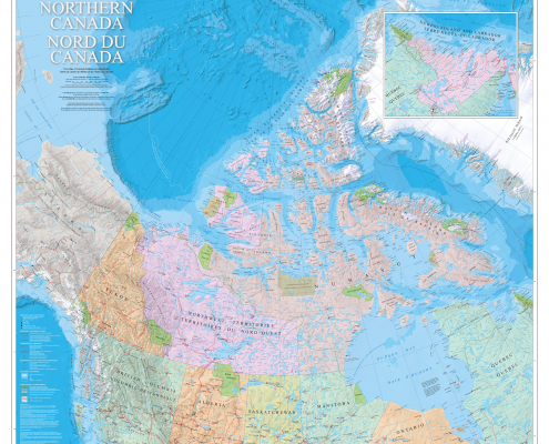
Northern Canada Map
Beautiful Northern Canada Map featuring the Canadian North in support of Natural Resources Canada and the Government of Canada’s Northern Strategy. This bilingual map product (available either in paper or digital formats) features the vast geography of the north from approximately 50° latitude and above.

1921 Map of Alberta
Large historic map of Alberta taken from Putnam's Handy Volume Atlas of the World that was published in 1921

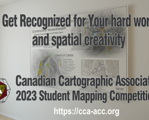
Canadian Cartographic Association Student Map Competition
Every year the CCA announces awards, prizes and scholarships for Canadian post-secondary students involved in any forms of cartography or map-making. Find out how you could get some $$ for maps you create while at school!!!

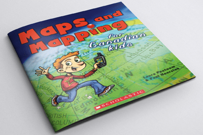
Helping Children Learn Cartography
Maps and Mapping for Canadian Kids is a really great resource for helping children learn cartography. It shows them how maps are made, how they work and teaches them how to read maps including basic principles of navigation and how early explorers were able to chart the world, and Canada in particular.

Professional Geomatics Associations and Groups in Canada
Professional organizations are great ways to network and discuss GIS topics with others in the same industry. Here are the professional geomatics related associations, groups and organizations in Canada ...

1898 Vancouver Panoramic Map
The 1898 Vancouver Panoramic Map provides an oblique look at the City of Vancouver looking from the north. There are also pictorial representations of buildings, industrial activity, various boats and vegetation. Streets, names of buildings and businesses are labeled, as well as the locations of the City foundry, machine works and more. Check out this historic look at Vancouver ...
