Posts

Canadian Open Data and Free Geospatial Data
/
23 Comments
Over the past few years CanadianGIS.com has been highlighting and promoting various cities and provinces in Canada that have done a great job providing data and applications to the public.
We created this page a few years ago to collaborate links of all the open geospatial data info (sites that offer data downloads at no cost and without restrictions), fee based geospatial data, online web mapping applications and other great sources of geospatial information (including National, Provincial and Regional levels).
This comprehensive list of open geospatial data, fee based geospatial data, web mapping applications and cartographic products is a valuable asset to many people (... we get hundreds of emails and requests regarding "Where can I find data for ...?") so we continue to update it with new information and sources of Canadian data sets.
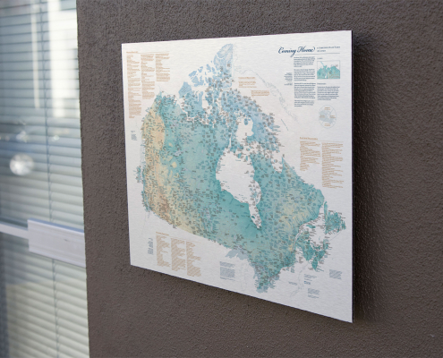
Indigenous Place Names in Canada Map
The map depicts Indigenous Place Names in Canada, shared by several First Nations, Métis, and Inuit communities. A high resolution digital version is provided that may be downloaded for free and printed for personal or educational uses.

1921 Map of Alberta
Large historic map of Alberta taken from Putnam's Handy Volume Atlas of the World that was published in 1921
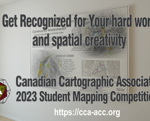
Canadian Cartographic Association Student Map Competition
Every year the CCA announces awards, prizes and scholarships for Canadian post-secondary students involved in any forms of cartography or map-making. Find out how you could get some $$ for maps you create while at school!!!
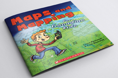
Helping Children Learn Cartography
Maps and Mapping for Canadian Kids is a really great resource for helping children learn cartography. It shows them how maps are made, how they work and teaches them how to read maps including basic principles of navigation and how early explorers were able to chart the world, and Canada in particular.
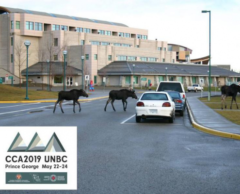
CCA2019 Mapping Our Values – Prince George, BC May 22-24
Communicating with maps and relevant spatial data is an important part of moving ahead through pressure of climate change impacts and other resource economy demands. The conference aims to represent the values of Canadian Cartography.

OpenStreetMap Step by Step User Guides
If you have been following our OpenStreetMap topic over the past few months then I am sure you have come to the realize that it is a community driven project and that anyone can edit OpenStreetMaps. But where does one start?
Here are some free user guides to help you get started using OpenStreetMap.

Geomatics Acronyms and Abbreviations
[List updated May 2016] Geomatics has become a pretty common term in Canada lately and includes many different disciplines such as geographic information systems (GIS), remote sensing, cartography, land surveying, global navigation satellite systems (GNSS), photogrammetry, geography and other related forms of spatial mapping.
Using acronyms and abbreviations is commonly practiced in the Geomatics industry and most of the time people just assume that everybody else knows what every acronyms and abbreviation stands for. Well that is obviously not the case most of the time and over the years I have created myself a little digital cheat-sheet of geomatics acronyms and abbreviations that I use with my work in my writing.
Here is a large collection of common acronyms and abbreviations that you may when working in the Canadian Geomatics industry.

City Maps: A coloring book for adults
Recently adults all over the world have suddenly started to go crazy over coloring books. Now Gretchen Peterson, a well known author in the cartography world has brought this latest craze to the geospatial community.
"City Maps: A coloring book for adults" includes over 44 black and white maps from all over the world (from Paris to New York City ...) , just waiting to be customized with your own cartographic color combinations.
Find out how to get your copy ...
