Posts
Vancouver Historic Maps and Plans
/
0 Comments
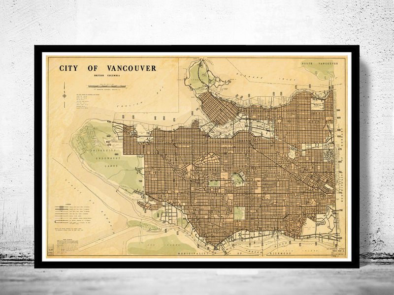
The City of Vancouver Archives contains over 4000 Vancouver historic maps and plans that have been repaired, restored, scanned, and made freely available to the public to use. The collection is ...
GIS jobs in British Columbia
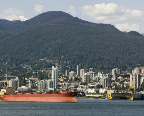
British Columbia's economy is largely resource based, and is also the endpoint of Canadian transcontinental highways and railways to the Pacific, making international trade a key factor. GIS has always played a key role in helping the British Columbia economy flourish. Therefore you can find hundreds of jobs related to Geomatics in British Columbia ...
CCA2019 Mapping Our Values – Prince George, BC May 22-24
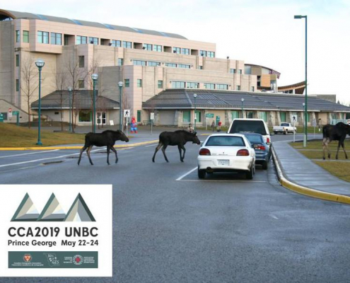
Communicating with maps and relevant spatial data is an important part of moving ahead through pressure of climate change impacts and other resource economy demands. The conference aims to represent the values of Canadian Cartography.
GIS Conference and Events in Canada
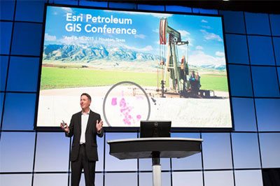
Attending a geomatics event or professional conference is a great way to keep update about what is currently happening in the Geomatics industry and also an opportunity to have a good time while networking and mingling with others.
Many organizations across Canada offer great conferences and events, so the Conference and Events section provides free information about the various GIS related conferences, events, workshops, training and webinars that are available to or could be of related interest to other Canadians.
Some upcoming geomatics related conference and events in Canada include ...
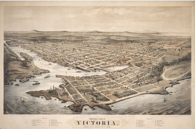
Bird’s-eye view of Victoria, BC
Today we wanted to share an image that has been posted all over the internet lately, it is a bird's-eye perspective view image of Victoria, British Columbia illustrated by E. S. Glover, A.L. Bancroft and Co., and published by M.W. Waitt & Co. in 1878

Surrey launches Open Data Program
The City of Surrey launched its open data program today as part of its commitment to an open, transparent and accessible government. The new Open Data Catalogue comprises more data sets than any other municipality in Canada, and will increase efficiency and productivity for staff and public by making the data available to everyone on the City website.
Okanagan College Advanced GIS Certificate
With the Advanced GIS Certificate program students learn the essentials of using GIS to create detailed maps, edit and manage spatial data and manage geographic based projects. More advanced topics include raster analysis, working with 3D data, and how to use GPS to collect data and perform spatial analysis.
A blend of theory and practical application are combined to ensure that graduates are prepared to enter the work force in a variety of different employment opportunities.

GIS Conference and Events
Attending professional GIS conferences or geomatics related events is always a great way to stay current with what is happening in the geomatics industry and provides amble opportunity to enjoy a good time while networking and mingling with others in the geomatics sector.
Our events section includes a variety events related to GIS, remote sensing, surveying, cartography, geography and all other geomatics disciplines (and from British Columbia to Newfoundland).
Listed here is information about upcoming GIS conferences, events and webinars in Canada
Portfolio Items
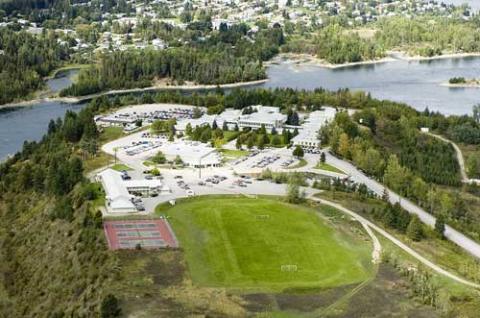
Selkirk College GIS
Students that complete the Selkirk College GIS programs leave with the knowledge and skills sets that allow them to become experts in GIS ...
