Posts

Would you support a National Geospatial Student Union
/
0 Comments
200 young geomatics students & professionals were asked if they would support a Canadian National Geospatial Student Union if it provided opportunities such as jobs and co-operatives opportunities or internship positions?"
The response was over whelming as 83% of the 200 participants responded that, they would support a Canadian National Geospatial Student Union.

University of Toronto – GIS for Environmental Management
The University of Toronto offers a Certificate in GIS for Environmental Management program that helps students build a solid foundation of GIS and Remote Sensing concepts and theory while developing skills related to environmental management.
The one year certificate programs is comprised of two required core GIS courses and two other geomatics related courses, all offered through distance education online over the internet.

GIS Conference and Events
Attending professional GIS conferences or geomatics related events is always a great way to stay current with what is happening in the geomatics industry and provides amble opportunity to enjoy a good time while networking and mingling with others in the geomatics sector.
Our events section includes a variety events related to GIS, remote sensing, surveying, cartography, geography and all other geomatics disciplines (and from British Columbia to Newfoundland).
Listed here is information about upcoming GIS conferences, events and webinars in Canada

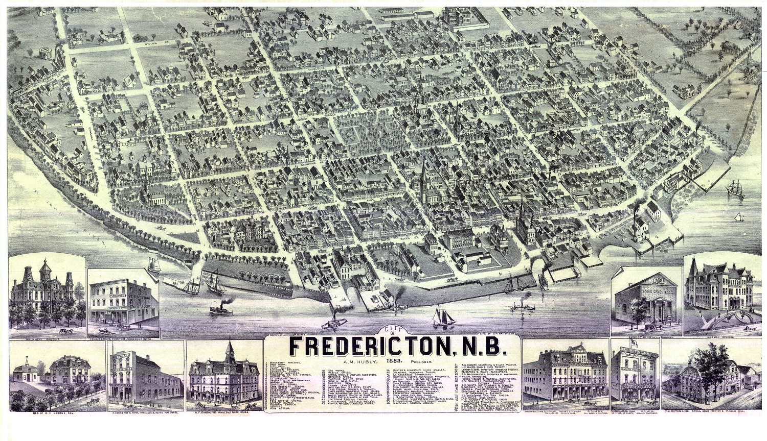
Historic Bird’s Eye Views of several Canadian Cities
Canada is certainly not an old country when compared to many others like France or the UK but it has been around long enough to have some very interesting history.
Here are some historic aerial images of major cities in Canada. It is interesting to compare some of these with modern maps and aerial images to get a real appreciation on what urban sprawl is and how cities develop and spread over time.

SMART (Spatial Mapping Academic Research Tools) Program
For more than a decade, DMTI Spatial Inc. (DMTI) has been supporting Canada’s academic GIS community with the SMART (Spatial Mapping Academic Research Tools) program. The program assists a consortium of libraries at over forty Canadian universities and colleges, including the University of Toronto, York University and the University of British Columbia, reaching over 9000 students and faculty members annually.

Avoid the Traffic with ReRouteMe Mapping Application
Want to avoid the traffic, then the ReRouteMe online web mapping application can help you avoid construction, accidents and traffic congestion.This online mapping application takes the basic functionality of Google maps (such as the display of the reference map and the address search ability) and combines it with custom functionality and databases that are completely independent from Google to provide a powerful value added product that can help you avoid accidents, traffic cams, construction and any congestion on your everyday commute.
Today I take a closer look at ReRouteMe mapping applicationand what it has to offer the Canadian Urban Commuter.

Geomatics at Ryerson University
Ryerson University offers a number of various options to people who want to pursue a Geomatics career with several programs witch we cover here briefly. If you are in the Toronto area and want to study Geomatics then you should contact the web sites and contact people mentioned to find out more information to help aid your decision.

Humber College Online GIS Certificate
The Fundamentals of GIS Certificate program from Humber College is designed for every day practitioners such as office managers, technical professionals, and or support staff responsible for managing and using GIS data sets.
The program is delivered via online format only so students can be located virtually anywhere in Canada and still upgrade their GIS skills while maintaining an everyday job.
Portfolio Items

Humber College
designed for every day practitioners such as office managers, technical professionals, & staff responsible for managing GIS data sets ...
