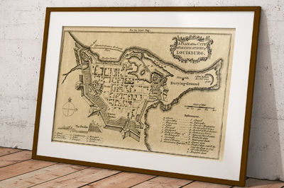
Fortress of Louisburg Maps
Recently we purchased some old maps at a yard sale, and one of the old map books contained a tattered map featuring the Fortress of Louisbourg that we scanned, cleaned up in photo-shop and then reproduced. While searching for the date and source of our map print we also noticed that there have been several old Fortress of Louisbourg maps created and have included a few the links here to share with others …

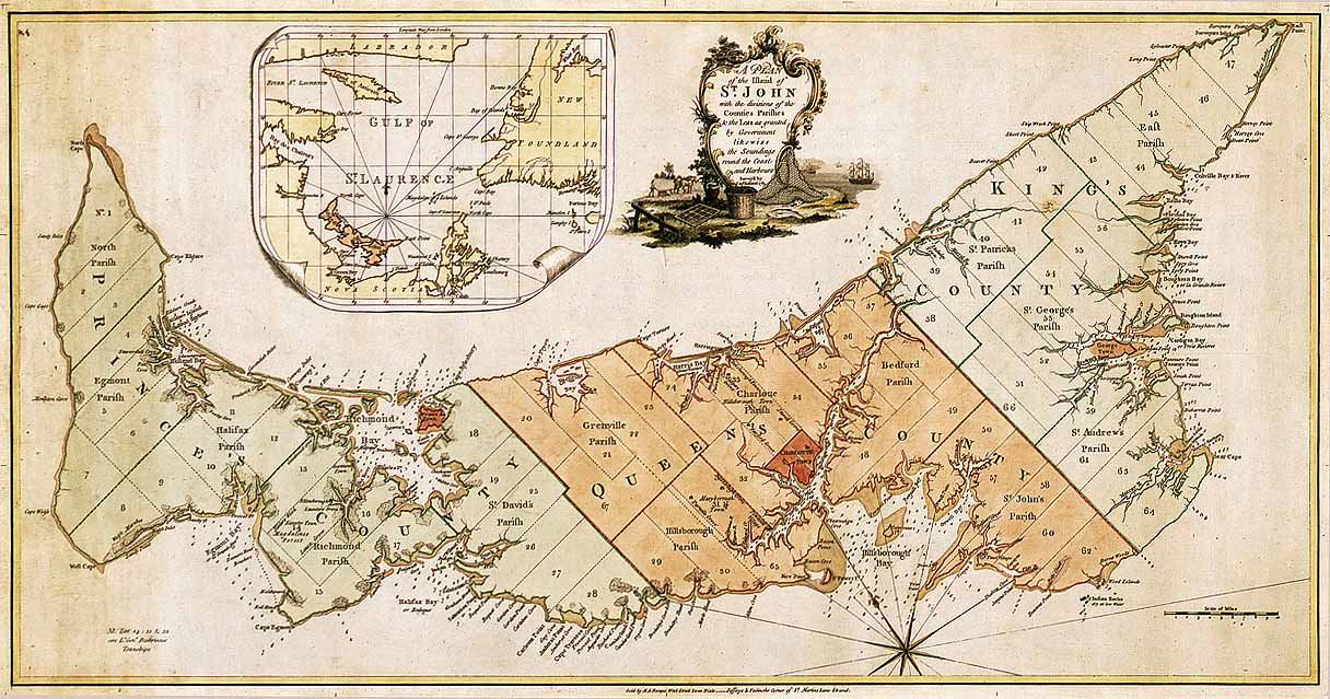
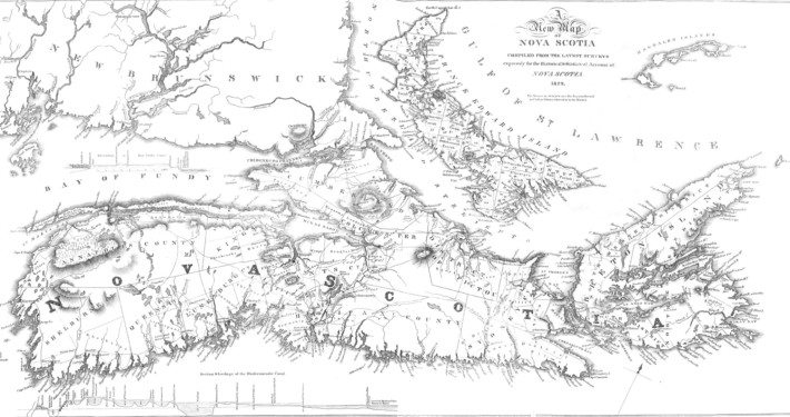
 Other Prince Edward Island Historic Maps
