Posts

GIS Formats and Geospatial File Extensions
/
0 Comments
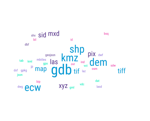
Geographic Information Systems (GIS) formats are specialized file types created to store and organize geographic data, including maps, databases, images, and other types of spatial data. These formats usually contain details about the geographic features’ location, shape, and characteristics, and can be utilized for various purposes, for example, mapping, analysis, and visualization. Encountering unfamiliar GIS formats or geospatial file extensions can be a daunting task for professionals, especially with the constant evolution of the geomatics sector. With various commercial and open-source software tools readily available to the geospatial community, it is common to come across new formats and extensions that one may not be familiar with. To assist in this ...

How to Get Ontario Topographic Data
Recently, someone contacted me looking for information on where they could find topographic map data for the Thunder Bay area, so I assumed that they must have already checked the Canadian data page, so suggested that they check out the Ontario Basic Mapping web site (OBM).
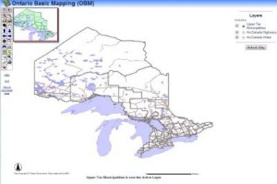
The Ontario Basic Mapping (OBM) site by the Geography Network is a great online resource with simplistic interactive interface that provides users tools to create customized map views and the ability to download various topographic base mapping data for the entire Province of Ontario. The site contains GIS layers created from 1:10,000 base maps from the Ontario Ministry of Natural Resources that people can download including layers for transportation, water, municipal, elevation, parks and conservation areas.
Today I have included more information about the OBM including a video on how to download free topographic data from the site.

British Columbia’s DataBC program
The DataBC program provides public access to provincial geographic information through a single web interface, offering a multitude of geographic data (spatial and no-spatial), applications and tools in order to help their citizens make better informed decisions, inspire change and encourage development of new ideas to improve government decision making & policies.
They have provided minimal licensing requirements to their data to help broaden the use of the Province's assets. "You can use our geographic services to help map the data and find tools to help you conduct your own research, analyze statistics, develop apps or to simply satisfy your curiosity."
