Posts

Queen’s University GIS Certificate
/
0 Comments
The Certificate in Geographic Information Science at Queen's University provides the fundamentals of GIS, remote sensing and cartography. The Program is made available to all Queen's University undergraduate students regardless of degree concentration, and is basically intended for those who wish to enhance an undergraduate degree by combining it with GIS
McMaster University ESRI Development Centre
The School of Geography and Earth Sciences at McMaster has established a long history of teaching and research ESRI products. In 2008 McMaster became the first University in Canada that was designated an ESRI Development Centre(EDC).
The McMaster GIS program emphasizes the development of a strong working knowledge of current ESRI GIS software and builds real world expertise and skills using state of the art desktop GIS tools and analysis for a wide variety of multi disciplinary applications.
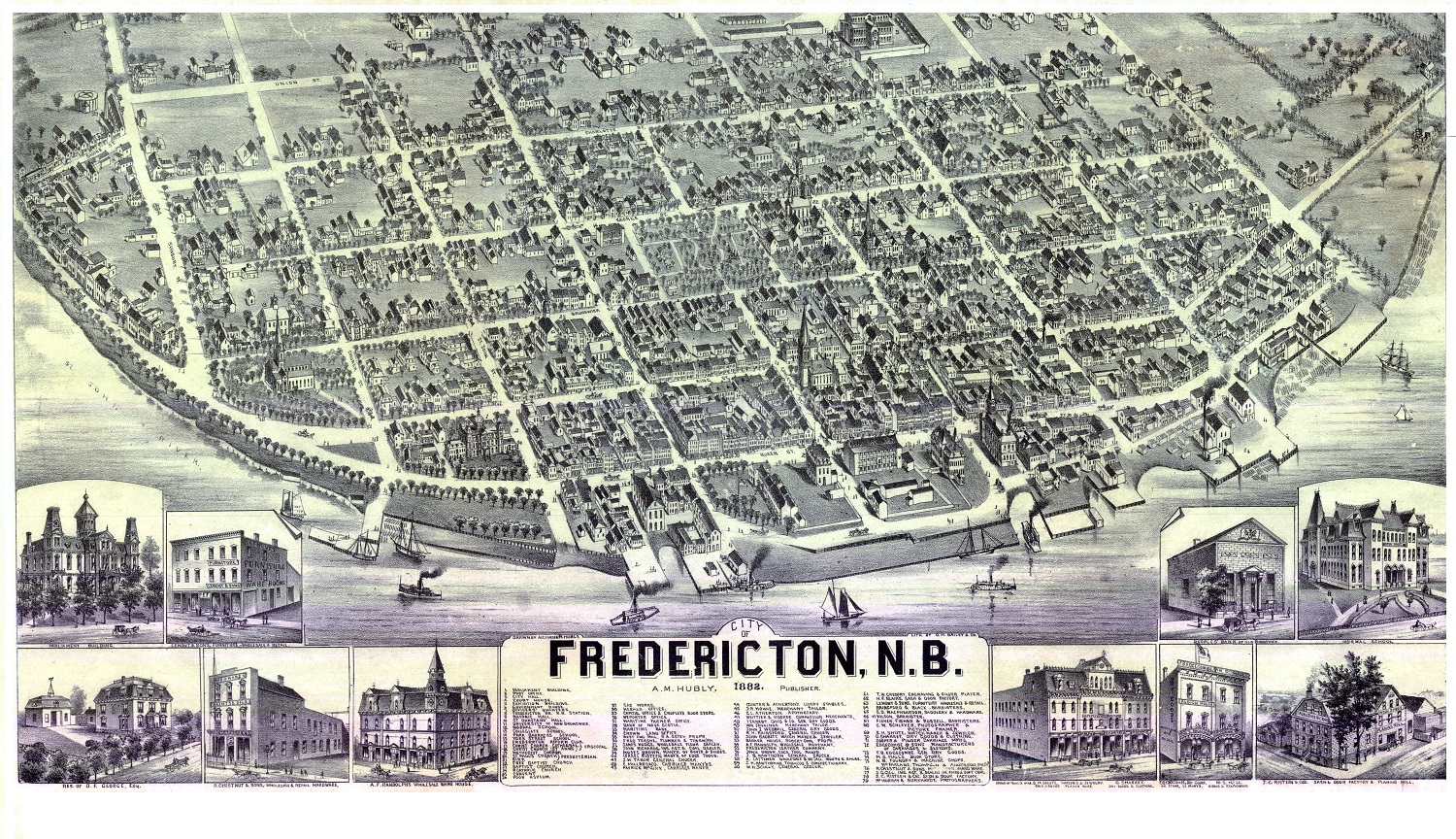
Historic Bird’s Eye Views of several Canadian Cities
Canada is certainly not an old country when compared to many others like France or the UK but it has been around long enough to have some very interesting history.
Here are some historic aerial images of major cities in Canada. It is interesting to compare some of these with modern maps and aerial images to get a real appreciation on what urban sprawl is and how cities develop and spread over time.
GIS at Fanshawe College
The one year GIS Graduate Certificate Program at Fanshawe College School of Design is a hands on project based and industry leading software intensive training, Students gain a solid foundation of GIS skills coupled with leading edge industry techniques to learn the skills that can provide spatial solutions.

SMART (Spatial Mapping Academic Research Tools) Program
For more than a decade, DMTI Spatial Inc. (DMTI) has been supporting Canada’s academic GIS community with the SMART (Spatial Mapping Academic Research Tools) program. The program assists a consortium of libraries at over forty Canadian universities and colleges, including the University of Toronto, York University and the University of British Columbia, reaching over 9000 students and faculty members annually.
Geomatics at Ryerson University
Ryerson University offers a number of various options to people who want to pursue a Geomatics career with several programs witch we cover here briefly. If you are in the Toronto area and want to study Geomatics then you should contact the web sites and contact people mentioned to find out more information to help aid your decision.

Humber College Online GIS Certificate
The Fundamentals of GIS Certificate program from Humber College is designed for every day practitioners such as office managers, technical professionals, and or support staff responsible for managing and using GIS data sets.
The program is delivered via online format only so students can be located virtually anywhere in Canada and still upgrade their GIS skills while maintaining an everyday job.
Portfolio Items
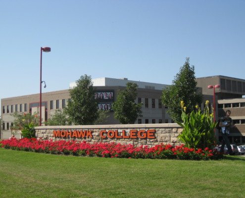
Mohawk College
The two year Urban and Regional Planning Technician diploma with specializations in GIS at Mohawk College in Hamilton, Ontario provides a chance to learn land use urban planning principles, planning laws, as well as the process and documentation necessary to create active and sustainable communities ...
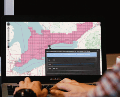
Humber College
designed for every day practitioners such as office managers, technical professionals, & staff responsible for managing GIS data sets ...
