Posts

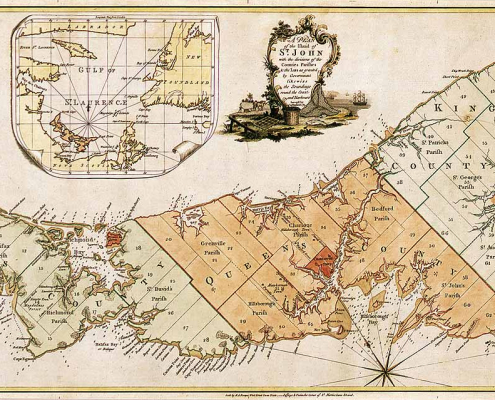
Historic Maps of Prince Edward Island
/
1 Comment
Historic Maps of Prince Edward Island that you can download include ...

1898 Vancouver Panoramic Map
The 1898 Vancouver Panoramic Map provides an oblique look at the City of Vancouver looking from the north. There are also pictorial representations of buildings, industrial activity, various boats and vegetation. Streets, names of buildings and businesses are labeled, as well as the locations of the City foundry, machine works and more. Check out this historic look at Vancouver ...

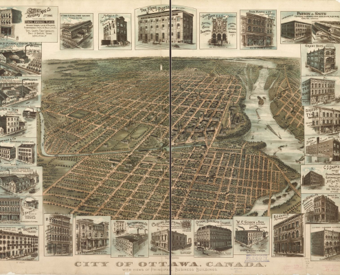
1895 Ottawa Panoramic Map
This 1895 Ottawa panoramic map provides viewers an oblique aerial view in a south direction from the east looking west up the Ottawa river. It contains detailed sketches of several principal business buildings at that time, that are displayed around the edges of the map. You also get a look at the transit rail system and a view of Parliament Hill before the big fire in 1916. Find out how to get a high resolution copy of this historic map ....

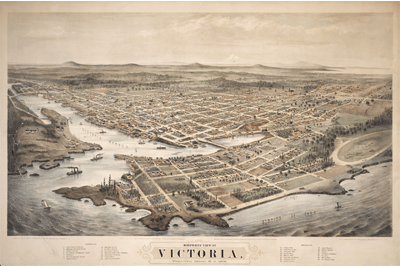
Bird’s-eye view of Victoria, BC
Today we wanted to share an image that has been posted all over the internet lately, it is a bird's-eye perspective view image of Victoria, British Columbia illustrated by E. S. Glover, A.L. Bancroft and Co., and published by M.W. Waitt & Co. in 1878
