Posts

City of Saint John Maps, Plans and Historical Data
/
0 Comments
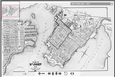
The Saint John maps collection includes an interactive atlas from 1875, compiled from official hand drawn plans and surveys. You will also find an interactive map of Historic Coastline and Fortifications and scanned copies of Murdoch-Lingley Survey Plans from 1920. Find out how you can download and use maps and images from the Saint John Historical Maps collection ...

Geomatics Acronyms and Abbreviations
[List updated May 2016] Geomatics has become a pretty common term in Canada lately and includes many different disciplines such as geographic information systems (GIS), remote sensing, cartography, land surveying, global navigation satellite systems (GNSS), photogrammetry, geography and other related forms of spatial mapping.
Using acronyms and abbreviations is commonly practiced in the Geomatics industry and most of the time people just assume that everybody else knows what every acronyms and abbreviation stands for. Well that is obviously not the case most of the time and over the years I have created myself a little digital cheat-sheet of geomatics acronyms and abbreviations that I use with my work in my writing.
Here is a large collection of common acronyms and abbreviations that you may when working in the Canadian Geomatics industry.

A Nova Scotian experiment in Technical Education
After several months of waiting, Bob Maher has finished writing the history of COGS and has made it available on the website that I created for the project. Find out how you can download the book for free and learn the history of COGS ...

GIS & Planning at Mohawk College
The two year Urban and Regional Planning Technician diploma with specializations in GIS at Mohawk College in Hamilton, Ontario provides a chance to learn land use urban planning principles, planning laws, as well as the process and documentation necessary to create active and sustainable communities.
Portfolio Items

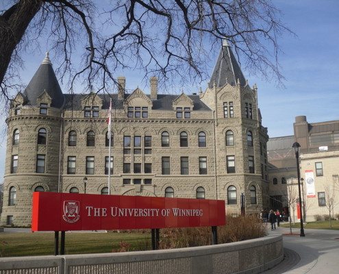
University of Winnipeg – Red River College GIS Program
Students who successfully complete the entire program will receive a BSc from The University of Winnipeg & an Advanced Diploma from Red River College ...

Red River College GIS
advanced diploma program providing technical & conceptual skills for students looking to become proficient in the design, development, & implementation of GIS ...
