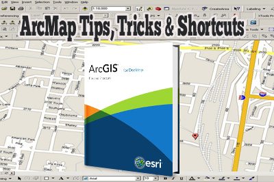
ArcMap Tips, Tricks and Shortcuts
Great little presentation providing information for almost all levels of users from beginners to experienced, with topics including: map navigation tips and tricks, keyboard shortcuts, customization, magnifier window, creating symbols, modifying existing symbols, working with map layers, layer files, python scripting and much more.
Many of the shortcuts they mention in the presentation can also be found in this helpful summary document.

Geomatics Analytical Technician – Working in Canada
/
1 Comment
Geomatics Analytical Technicians typically have working knowledge with demonstrated experience using GIS software, development of specialized cartography products, and provide support to other GIS users. Want to know what a typical Geomatics Analytical Technician job entails?

Learn How To Map in OpenStreetMap
A few great step by step tutorial videos to help beginners learn how to get started mapping with OpenStreetMap.

The future of GIS with Esri’s ArcGIS Online
Jack Dangermond discusses the potential of Esri's ArcGIS online cloud based GIS and how mapping applications leverage it to access GIS file sharing and collaboration in a cloud environment.

What can you do with Geography?
"We all know that geography is important; but what can you do with it?" Here we explore how geography is used in the real world, from disaster response to military intelligence and even polar exploration.
