

 https://canadiangis.com/wp-content/uploads/ArcMap-Tips-Tricks-and-Shortcuts.jpg
266
400
CanadianGIS
https://canadiangis.com/wp-content/uploads/CanadianGIS-rec-logo-2021-v4.png
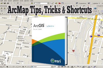
CanadianGIS2016-01-04 19:06:302016-01-04 19:06:30ArcMap Tips, Tricks and Shortcuts
 https://canadiangis.com/wp-content/uploads/TheArcGISBook.png
266
400
CanadianGIS
https://canadiangis.com/wp-content/uploads/CanadianGIS-rec-logo-2021-v4.png
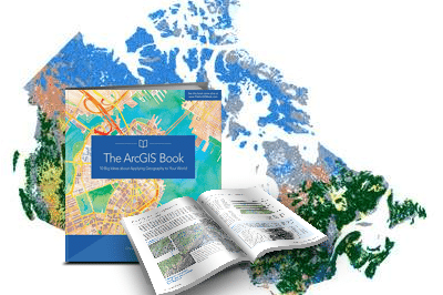
CanadianGIS2015-10-08 07:49:522015-10-08 07:49:52The ArcGIS Book
 https://canadiangis.com/wp-content/uploads/laser-scanner-books.png
261
400
CanadianGIS
https://canadiangis.com/wp-content/uploads/CanadianGIS-rec-logo-2021-v4.png
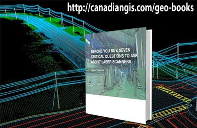
CanadianGIS2015-07-29 19:44:102015-07-29 19:44:10Questions You Should Answer Before You Buy A Laser Scanner
 https://canadiangis.com/wp-content/uploads/Python-Scripting-for-ArcGIS.jpg
266
400
CanadianGIS
https://canadiangis.com/wp-content/uploads/CanadianGIS-rec-logo-2021-v4.png
CanadianGIS2015-06-17 17:15:152015-06-17 17:15:15Python Scripting for ArcGIS
 https://canadiangis.com/wp-content/uploads/Unfiltered-Guide-to-Finding-a-GIS-Job.jpg
267
400
CanadianGIS
https://canadiangis.com/wp-content/uploads/CanadianGIS-rec-logo-2021-v4.png
CanadianGIS2015-06-16 23:20:392015-06-16 23:20:39Unfiltered Guide to Finding a GIS Job
 https://canadiangis.com/wp-content/uploads/E-Book-for-International-Geospatial-Job-Seekers.jpg
266
400
CanadianGIS
https://canadiangis.com/wp-content/uploads/CanadianGIS-rec-logo-2021-v4.png
CanadianGIS2015-03-25 12:36:412015-03-25 12:36:41E-Book for International Geospatial Job Seekers
 https://canadiangis.com/wp-content/uploads/RADARSAT-1-Story.jpg
266
400
CanadianGIS
https://canadiangis.com/wp-content/uploads/CanadianGIS-rec-logo-2021-v4.png
CanadianGIS2015-03-23 14:41:032015-03-23 14:41:03RADARSAT-1 Story: A Canadian Satellite
 https://canadiangis.com/wp-content/uploads/Free-QGIS-tutorials.jpg
266
400
CanadianGIS
https://canadiangis.com/wp-content/uploads/CanadianGIS-rec-logo-2021-v4.png
CanadianGIS2015-03-09 20:36:302015-03-09 20:36:30Free QGIS Tutorial
 https://canadiangis.com/wp-content/uploads/Land-Applications-of-Radar-Remote-Sensing1.jpg
266
400
CanadianGIS
https://canadiangis.com/wp-content/uploads/CanadianGIS-rec-logo-2021-v4.png
CanadianGIS2015-02-21 18:13:312015-02-21 18:13:31Land Applications of Radar Remote Sensing
 https://canadiangis.com/wp-content/uploads/QGIS-2-CookBook.jpg
266
400
CanadianGIS
https://canadiangis.com/wp-content/uploads/CanadianGIS-rec-logo-2021-v4.png
CanadianGIS2015-01-15 14:45:562015-01-15 14:45:56QGIS 2 Cookbook