

 https://canadiangis.com/wp-content/uploads/Geo_2025_L.Gibeau-432-scaled-2.jpg
1707
2560
CanadianGIS
https://canadiangis.com/wp-content/uploads/CanadianGIS-rec-logo-2021-v4.png
CanadianGIS2026-03-09 22:42:002026-07-04 18:36:09GeoIgnite 2026 – Canada’s National Geospatial Leadership Conference
 https://canadiangis.com/wp-content/uploads/1759410075448.jpg
418
800
CanadianGIS
https://canadiangis.com/wp-content/uploads/CanadianGIS-rec-logo-2021-v4.png
CanadianGIS2025-07-21 13:17:502025-07-21 13:17:50Canadian Geomatics Expo 2025
 https://canadiangis.com/wp-content/uploads/Canadian-Cartographic-Association-Student-Mapping-Competition-2023.png
1378
2400
CanadianGIS
https://canadiangis.com/wp-content/uploads/CanadianGIS-rec-logo-2021-v4.png
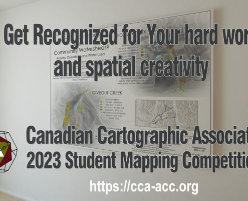
CanadianGIS2023-01-04 19:00:052023-01-04 19:00:05Canadian Cartographic Association Student Map Competition
 https://canadiangis.com/wp-content/uploads/unnamed-1024x512-1.jpg
512
1024
CanadianGIS
https://canadiangis.com/wp-content/uploads/CanadianGIS-rec-logo-2021-v4.png
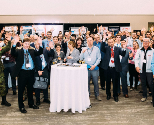
CanadianGIS2020-07-08 19:39:512020-07-08 19:39:51GeoIgnite: Leadership in Times of Disruption
 https://canadiangis.com/wp-content/uploads/GIS-Day-Resources-Posters.jpg
601
1279
CanadianGIS
https://canadiangis.com/wp-content/uploads/CanadianGIS-rec-logo-2021-v4.png
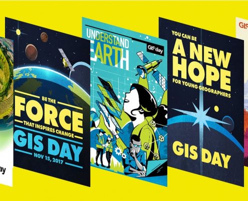
CanadianGIS2019-10-29 08:57:212019-10-29 08:57:21Free GIS Day Promotion Resources
 https://canadiangis.com/wp-content/uploads/GoGeomatics-Back-to-School-Socials.jpg
266
400
CanadianGIS
https://canadiangis.com/wp-content/uploads/CanadianGIS-rec-logo-2021-v4.png
CanadianGIS2019-08-01 19:39:502019-08-01 19:39:50GoGeomatics Back to School Socials
 https://canadiangis.com/wp-content/uploads/call4talks.jpg
596
846
CanadianGIS
https://canadiangis.com/wp-content/uploads/CanadianGIS-rec-logo-2021-v4.png
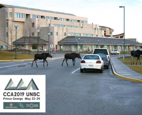
CanadianGIS2019-03-27 09:46:522019-03-27 09:46:52CCA2019 Mapping Our Values – Prince George, BC May 22-24
 https://canadiangis.com/wp-content/uploads/jefferys-north-america-canada-nova-scotia-louisbourg.jpg
804
1200
CanadianGIS
https://canadiangis.com/wp-content/uploads/CanadianGIS-rec-logo-2021-v4.png
CanadianGIS2018-03-08 08:04:182018-03-08 08:04:18Community Mapping – Place Making Through Maps
 https://canadiangis.com/wp-content/uploads/20180130_154731-scaled.jpg
1920
2560
CanadianGIS
https://canadiangis.com/wp-content/uploads/CanadianGIS-rec-logo-2021-v4.png
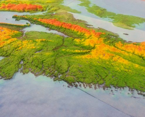
CanadianGIS2018-01-31 16:58:292018-01-31 16:58:293D Data Workshop
 https://canadiangis.com/wp-content/uploads/20160923_203401-scaled.jpg
1920
2560
CanadianGIS
https://canadiangis.com/wp-content/uploads/CanadianGIS-rec-logo-2021-v4.png
CanadianGIS2017-09-07 21:02:292017-09-07 21:02:292017 GoGeomatics Back to School Socials