Geospatial data and software are used to collect, analyze and interpret geographic information. Geomatics is the science of collecting, storing, analyzing and interpreting spatial data. Geospatial data can be used in a variety of applications such as mapping, surveying, navigation, land use planning, environmental monitoring, and resource management.
Geospatial data and software are used to Geomatics data and software are used in industries such as agriculture, forestry, engineering, urban planning, oil and gas, and mining. Geomatics software includes Geographic Information Systems (GIS), satellite imagery, surveying and mapping software, and other specialized applications. The combination of these technologies allow for efficient and accurate data collection and analysis, as well can be used to help identify trends and patterns in the environment, track the movement of animals and natural resources, and monitor the health of ecosystems. Geomatics data and software are essential for understanding and managing the Earth’s resources.
The “Geospatial Data and Software” section of our site includes information related to a wide array of geospatial data and software related topics. See the various pages listed further below for more information …
Bathymetry is used to measure water depths to help model physical underwater terrain found beneath large bodies of water. Similar to the same way that LiDAR models are represent 3D features (or relief) of land terrain, bathymetric maps illustrate the terrain or land that is located under large bodies of water.
Download Bathymetry of Lake Ontario pre-made maps and GIS data ...
https://canadiangis.com/wp-content/uploads/Bathymetry-of-Lake-Ontario.png266400CanadianGIShttps://canadiangis.com/wp-content/uploads/CanadianGIS-rec-logo-2021-v4.pngCanadianGIS2025-02-23 22:26:152026-07-02 14:37:14Bathymetry of Lake Ontario
Looking for data sets featuring Newfoundland and Labrador? Then you should check out the Newfoundland and Labrador OpenData. They are providing data in various accessible formats numerical tabular styled files as well as common text formats.
https://canadiangis.com/wp-content/uploads/Newfoundland-and-Labrador-OpenData.png266400CanadianGIShttps://canadiangis.com/wp-content/uploads/CanadianGIS-rec-logo-2021-v4.pngCanadianGIS2025-01-16 16:24:452026-06-29 15:05:40Newfoundland and Labrador OpenData
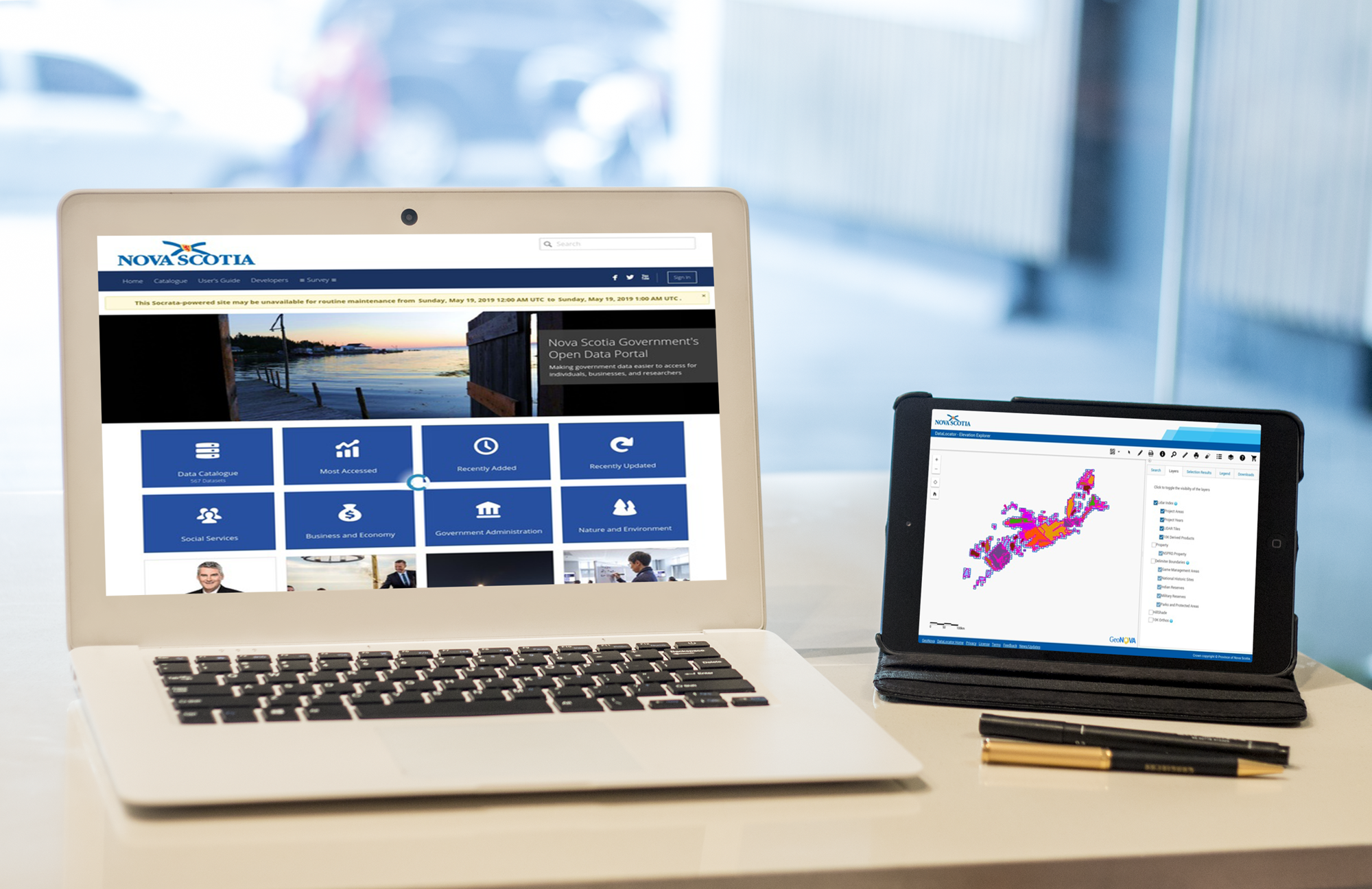
The City of Vancouver Archives contains over 4000 Vancouver historic maps and plans that have been repaired, restored, scanned, and made freely available to the public to use. The collection is ...
https://canadiangis.com/wp-content/uploads/vancouver_1970_23_5_35_frame_2_grande.jpg600800CanadianGIShttps://canadiangis.com/wp-content/uploads/CanadianGIS-rec-logo-2021-v4.pngCanadianGIS2024-10-17 19:19:072026-06-29 13:44:02Vancouver Historic Maps and Plans
1778 map of Newfoundland (or Isle de Terre-Neuve in French) by explorer and cartographer James Cook provides a detailed and historically significant depiction of the island.
https://canadiangis.com/wp-content/uploads/1778-Isle-de-Terre-Neuve-Map.jpg15991627CanadianGIShttps://canadiangis.com/wp-content/uploads/CanadianGIS-rec-logo-2021-v4.pngCanadianGIS2024-10-12 18:23:492026-06-29 13:14:381778 Isle de Terre-Neuve Map
This handy color shaded relief map of the world including oceans was created from the NOAA ETOPO1 data set and was intended to be used with handheld Garmin GPS units, but can also make a nice colorful back ground image to use in Google Earth. Find out how to download this free resource ...
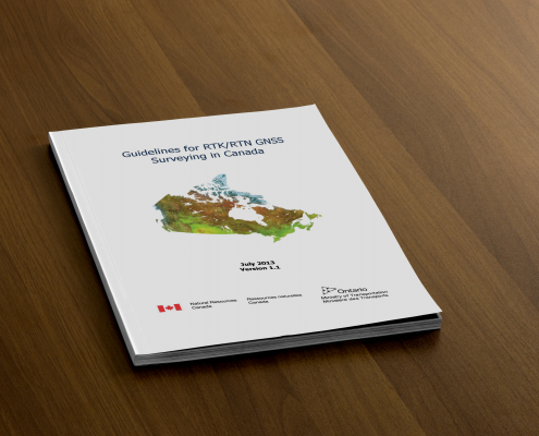
Real Time Kinematic GNSS surveying can allow people to achieve relative positioning with centimetre (cm) precision, however there are several important factors that need to be considered and thus a need for a good guide of best practices (equipment calibration, errors, multipath, geometry, etc.).
https://canadiangis.com/wp-content/uploads/Canada-RTK_UserGuide_v1-1_EN2-scaled.png16822560CanadianGIShttps://canadiangis.com/wp-content/uploads/CanadianGIS-rec-logo-2021-v4.pngCanadianGIS2023-10-05 18:20:202026-06-29 10:46:14Guidelines for Real Time Kinematic (RTK) Surveying
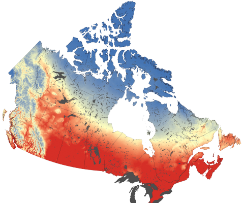
The Climate Atlas of Canada is an innovative tool allowing users to better comprehend climate change in Canada. It combines scientific data, mapping, and stories, and helps encourages action and solutions. The goal of the mapping application is to help make climate change more meaningful and engaging to Canadian Citizens. Check out how this online mapping application is helping to ...
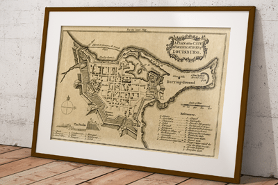
Recently we purchased some old maps at a yard sale, and one of the old map books contained a tattered map featuring the Fortress of Louisbourg that we scanned, cleaned up in photo-shop and then reproduced. While searching for the date and source of our map print we also noticed that there have been several old Fortress of Louisbourg maps created and have included a few the links here to share with others ...
https://canadiangis.com/wp-content/uploads/Fortress-of-Louisburg-Maps-.png266400CanadianGIShttps://canadiangis.com/wp-content/uploads/CanadianGIS-rec-logo-2021-v4.pngCanadianGIS2023-02-04 16:00:512023-02-04 16:00:51Fortress of Louisburg Maps
Historic map of Alberta taken from Putnam's Handy Volume Atlas of the World that was published in 1921
https://canadiangis.com/wp-content/uploads/Alberta-1921-sm1.jpg574450CanadianGIShttps://canadiangis.com/wp-content/uploads/CanadianGIS-rec-logo-2021-v4.pngCanadianGIS2023-02-02 20:54:392023-02-02 20:54:391921 Map of Alberta
The Snapshot Kingston online mapping application allows people to explore nearly 150 years of Kingston History using Maps and Aerial Images. See how this application is helping citizens better appreciate their history and geography ...
https://canadiangis.com/wp-content/uploads/Snapshot-Kingston.jpg6121012CanadianGIShttps://canadiangis.com/wp-content/uploads/CanadianGIS-rec-logo-2021-v4.pngCanadianGIS2023-01-18 13:45:422023-01-18 13:45:42Explore nearly 150 years of Kingston History using Maps and Aerial Images

 https://canadiangis.com/wp-content/uploads/Bathymetry-of-Lake-Ontario.png
266
400
CanadianGIS
https://canadiangis.com/wp-content/uploads/CanadianGIS-rec-logo-2021-v4.png
CanadianGIS2025-02-23 22:26:152026-07-02 14:37:14Bathymetry of Lake Ontario
 https://canadiangis.com/wp-content/uploads/Newfoundland-and-Labrador-OpenData.png
266
400
CanadianGIS
https://canadiangis.com/wp-content/uploads/CanadianGIS-rec-logo-2021-v4.png
CanadianGIS2025-01-16 16:24:452026-06-29 15:05:40Newfoundland and Labrador OpenData
 https://canadiangis.com/wp-content/uploads/vancouver_1970_23_5_35_frame_2_grande.jpg
600
800
CanadianGIS
https://canadiangis.com/wp-content/uploads/CanadianGIS-rec-logo-2021-v4.png
CanadianGIS2024-10-17 19:19:072026-06-29 13:44:02Vancouver Historic Maps and Plans
 https://canadiangis.com/wp-content/uploads/1778-Isle-de-Terre-Neuve-Map.jpg
1599
1627
CanadianGIS
https://canadiangis.com/wp-content/uploads/CanadianGIS-rec-logo-2021-v4.png
CanadianGIS2024-10-12 18:23:492026-06-29 13:14:381778 Isle de Terre-Neuve Map
 https://canadiangis.com/wp-content/uploads/World-Shaded-Relief-Map-1.jpg
1068
1904
CanadianGIS
https://canadiangis.com/wp-content/uploads/CanadianGIS-rec-logo-2021-v4.png
CanadianGIS2023-11-09 21:22:202026-06-29 11:28:57World Shaded Relief KMZ file [free download]
 https://canadiangis.com/wp-content/uploads/Canada-RTK_UserGuide_v1-1_EN2-scaled.png
1682
2560
CanadianGIS
https://canadiangis.com/wp-content/uploads/CanadianGIS-rec-logo-2021-v4.png
CanadianGIS2023-10-05 18:20:202026-06-29 10:46:14Guidelines for Real Time Kinematic (RTK) Surveying
 https://canadiangis.com/wp-content/uploads/Climate-Atlas-of-Canada.png
480
480
CanadianGIS
https://canadiangis.com/wp-content/uploads/CanadianGIS-rec-logo-2021-v4.png
CanadianGIS2023-02-14 20:43:182026-07-05 07:46:30The Climate Atlas
 https://canadiangis.com/wp-content/uploads/Fortress-of-Louisburg-Maps-.png
266
400
CanadianGIS
https://canadiangis.com/wp-content/uploads/CanadianGIS-rec-logo-2021-v4.png
CanadianGIS2023-02-04 16:00:512023-02-04 16:00:51Fortress of Louisburg Maps
 https://canadiangis.com/wp-content/uploads/Alberta-1921-sm1.jpg
574
450
CanadianGIS
https://canadiangis.com/wp-content/uploads/CanadianGIS-rec-logo-2021-v4.png
CanadianGIS2023-02-02 20:54:392023-02-02 20:54:391921 Map of Alberta
 https://canadiangis.com/wp-content/uploads/Snapshot-Kingston.jpg
612
1012
CanadianGIS
https://canadiangis.com/wp-content/uploads/CanadianGIS-rec-logo-2021-v4.png
CanadianGIS2023-01-18 13:45:422023-01-18 13:45:42Explore nearly 150 years of Kingston History using Maps and Aerial Images