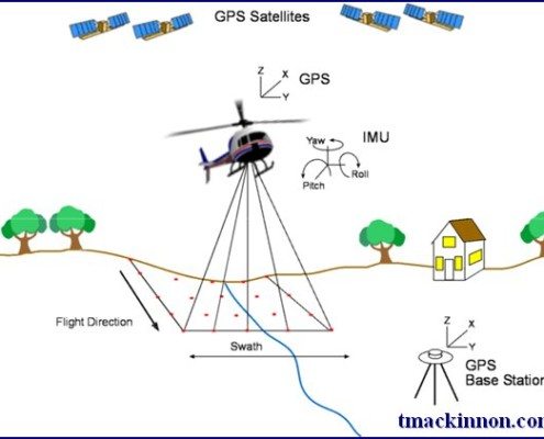
Canadian Lidar Data
/
1 Comment
Since starting our Open Data Resources page in 2010, we have received thousands of requests from people looking for various geospatial data to use with their geospatial projects. We now have an ongoing list of places where you can find Canadian Lidar Data that is available to use for free.
We hope that as more people start using this data and that the geospatial community will help us add more Canadian LiDAR Data sources to this page ...
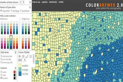
ColorBrewer Color Scheme Selector
ColorBrewer 2.0 is a simple online tool that helps you choose appropriate color schemes to use with your online mapping projects. It works with 3 different types of data schemes: sequential (data that ranges from low to high), diverging (data with equal an emphasis on critical values and extremes) or qualitative ( best suited for nominal or categorical data).
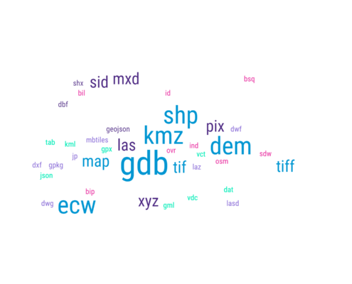
GIS Formats and Geospatial File Extensions
Geographic Information Systems (GIS) formats are specialized file types created to store and organize geographic data, including maps, databases, images, and other types of spatial data. These formats usually contain details about the geographic features’ location, shape, and characteristics, and can be utilized for various purposes, for example, mapping, analysis, and visualization. Encountering unfamiliar GIS formats or geospatial file extensions can be a daunting task for professionals, especially with the constant evolution of the geomatics sector. With various commercial and open-source software tools readily available to the geospatial community, it is common to come across new formats and extensions that one may not be familiar with. To assist in this ...

Nova Scotia Civic Address Finder
The new improved Nova Scotia Civic Address Finder is an online mapping application used to allow the public to view civic address information, including civic numbers, street names and more ...

Google’s Dataset Search Tool
To help provide better access to open data, Google has launched a beta version of their Dataset Search tool, so that the geospatial community can discover the data they need for their projects
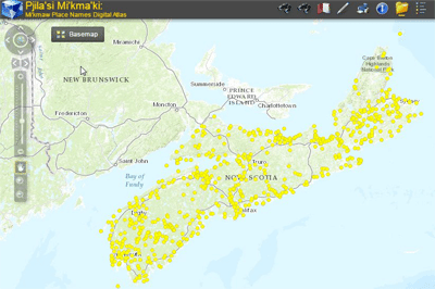
Atlas of Mi’kmaw Place Names
The most complete geographical representation ever created of Mi’kma’ki territory and Mi’kmaw Place Names, including an online interactive map with more than 700 place names derived from approximately 1500 names collected throughout Nova Scotia from interviews with Mi’kmaw Elders and others. Click here to browse the Atlas of Mi’kmaw Place Names ...
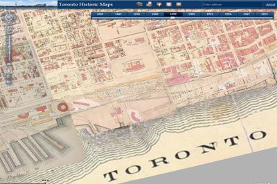
Online Toronto Historic Maps comparison tool
An online mapping tool of Toronto has been providing users the ability to compare locations in Toronto through various periods of time from 2013 back to 1818. Check out this neat online mapping application that helps promote historic maps of Toronto ...

Canadian Pirate maps
Pirate maps are often hand drawn spatial representation on paper that mark locaions of buried treasues and are ussually appear rough or tattered from being passed through time or simply being used in the rough elements, like on salt spray on the deck of a pirate ship.
Where does one look when they want to find Canadian Pirate Maps?
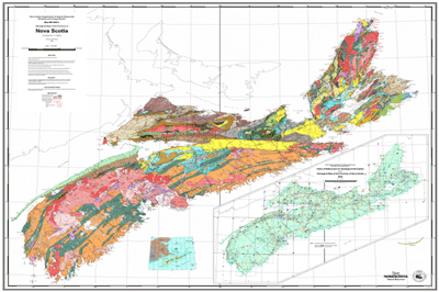
Nova Scotia Online Maps & Mapping Resources
Data is a vital role in geomatics related projects and for many years we have been helping people find Canadian data resources. Here you will find a large list of Nova Scotia Online Maps and geospatial Resources ...

 Geomatics data and software are used in industries such as agriculture, forestry, engineering, urban planning, oil and gas, and mining. Geomatics software includes Geographic Information Systems (GIS), satellite imagery, surveying and mapping software, and other specialized applications.