 Ge
Ge https://canadiangis.com/wp-content/uploads/CanadianGIS-rec-logo-2021-v4.png
0
0
tmackinnon
https://canadiangis.com/wp-content/uploads/CanadianGIS-rec-logo-2021-v4.png
tmackinnon2012-01-15 15:15:242018-01-08 13:12:42Comparison of top Free Online Map Sites (part 2)
https://canadiangis.com/wp-content/uploads/CanadianGIS-rec-logo-2021-v4.png
0
0
tmackinnon
https://canadiangis.com/wp-content/uploads/CanadianGIS-rec-logo-2021-v4.png
tmackinnon2012-01-15 15:15:242018-01-08 13:12:42Comparison of top Free Online Map Sites (part 2) https://canadiangis.com/wp-content/uploads/Map-BC-Court-Finder1.jpg
918
1200
tmackinnon
https://canadiangis.com/wp-content/uploads/CanadianGIS-rec-logo-2021-v4.png
tmackinnon2011-12-20 21:40:532018-01-08 13:12:57British Columbia Court Services Locator Map
https://canadiangis.com/wp-content/uploads/Map-BC-Court-Finder1.jpg
918
1200
tmackinnon
https://canadiangis.com/wp-content/uploads/CanadianGIS-rec-logo-2021-v4.png
tmackinnon2011-12-20 21:40:532018-01-08 13:12:57British Columbia Court Services Locator Map https://canadiangis.com/wp-content/uploads/Free-Data-Sets-for-the-City-of-Toronto.jpg
324
416
tmackinnon
https://canadiangis.com/wp-content/uploads/CanadianGIS-rec-logo-2021-v4.png
tmackinnon2011-12-01 01:04:412018-01-14 18:57:24Free Data Sets for the City of Toronto
https://canadiangis.com/wp-content/uploads/Free-Data-Sets-for-the-City-of-Toronto.jpg
324
416
tmackinnon
https://canadiangis.com/wp-content/uploads/CanadianGIS-rec-logo-2021-v4.png
tmackinnon2011-12-01 01:04:412018-01-14 18:57:24Free Data Sets for the City of Toronto https://canadiangis.com/wp-content/uploads/City-of-Edmonton-ESRI-online-mapping-tools.jpg
382
448
tmackinnon
https://canadiangis.com/wp-content/uploads/CanadianGIS-rec-logo-2021-v4.png
tmackinnon2011-11-30 01:21:282018-01-08 13:13:07Free Data Sets for the City of Edmonton & ESRI online mapping tools
https://canadiangis.com/wp-content/uploads/City-of-Edmonton-ESRI-online-mapping-tools.jpg
382
448
tmackinnon
https://canadiangis.com/wp-content/uploads/CanadianGIS-rec-logo-2021-v4.png
tmackinnon2011-11-30 01:21:282018-01-08 13:13:07Free Data Sets for the City of Edmonton & ESRI online mapping tools https://canadiangis.com/wp-content/uploads/Canadian-Maps.jpg
394
525
tmackinnon
https://canadiangis.com/wp-content/uploads/CanadianGIS-rec-logo-2021-v4.png
tmackinnon2011-11-25 21:23:342018-01-08 13:14:02Canadian Maps
https://canadiangis.com/wp-content/uploads/Canadian-Maps.jpg
394
525
tmackinnon
https://canadiangis.com/wp-content/uploads/CanadianGIS-rec-logo-2021-v4.png
tmackinnon2011-11-25 21:23:342018-01-08 13:14:02Canadian Maps https://canadiangis.com/wp-content/uploads/Things-to-See-abd-Do-in-British-Columbia.jpg
926
1198
tmackinnon
https://canadiangis.com/wp-content/uploads/CanadianGIS-rec-logo-2021-v4.png
tmackinnon2011-11-20 21:39:142018-01-08 13:14:06Things to See & Do in British Columbia
https://canadiangis.com/wp-content/uploads/Things-to-See-abd-Do-in-British-Columbia.jpg
926
1198
tmackinnon
https://canadiangis.com/wp-content/uploads/CanadianGIS-rec-logo-2021-v4.png
tmackinnon2011-11-20 21:39:142018-01-08 13:14:06Things to See & Do in British Columbia https://canadiangis.com/wp-content/uploads/Trimble-GPS-Planning-Software.jpg
143
250
tmackinnon
https://canadiangis.com/wp-content/uploads/CanadianGIS-rec-logo-2021-v4.png
tmackinnon2011-11-15 02:09:062019-02-28 11:38:30Trimble GPS Planning Software
https://canadiangis.com/wp-content/uploads/Trimble-GPS-Planning-Software.jpg
143
250
tmackinnon
https://canadiangis.com/wp-content/uploads/CanadianGIS-rec-logo-2021-v4.png
tmackinnon2011-11-15 02:09:062019-02-28 11:38:30Trimble GPS Planning Software https://canadiangis.com/wp-content/uploads/google_map_maker1.jpg
681
1209
tmackinnon
https://canadiangis.com/wp-content/uploads/CanadianGIS-rec-logo-2021-v4.png
tmackinnon2011-10-31 13:20:482018-01-08 13:04:12Map Maker for Canada
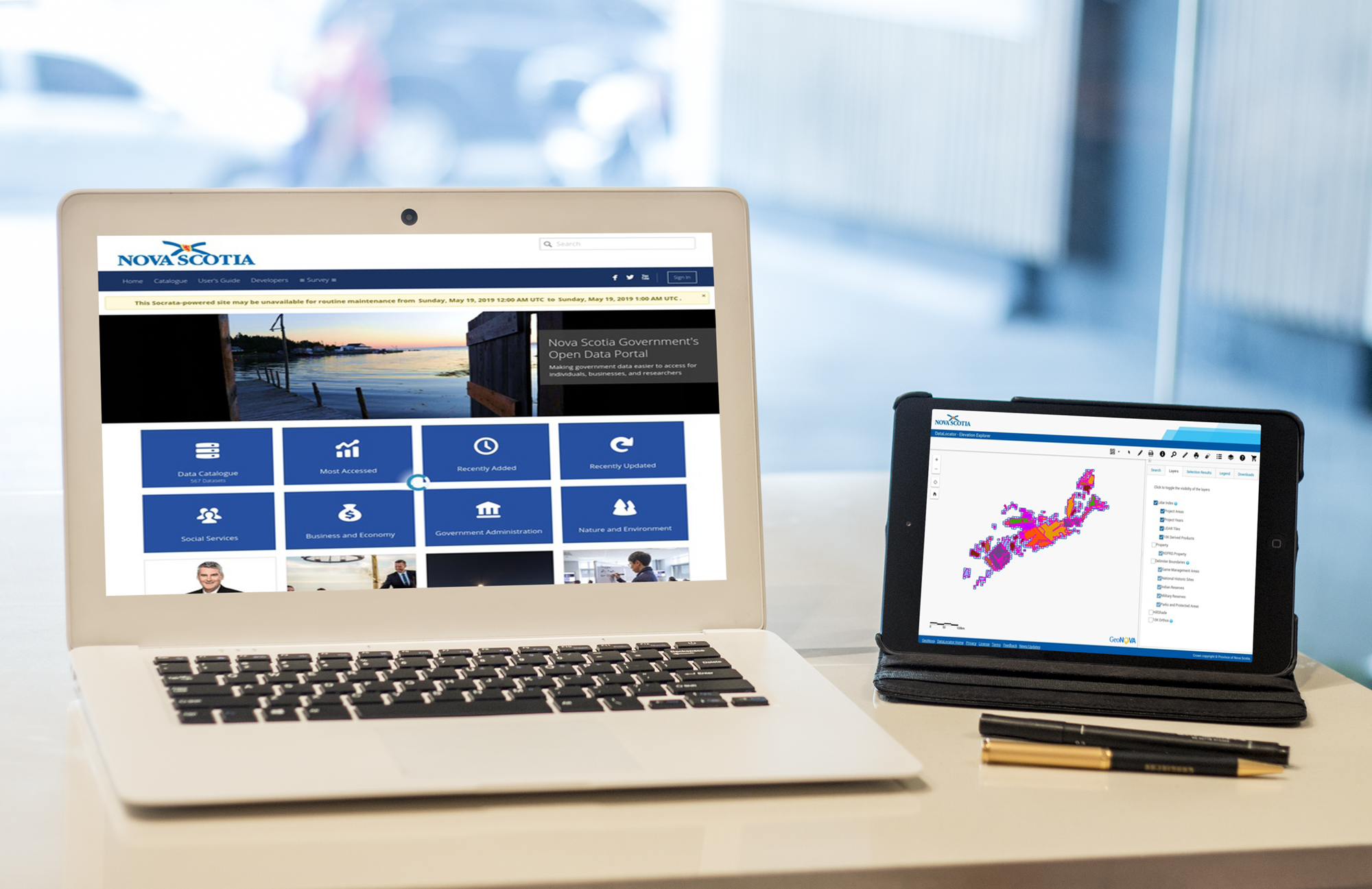
https://canadiangis.com/wp-content/uploads/Canada-Open-Data-Project.jpg
400
580
tmackinnon
https://canadiangis.com/wp-content/uploads/CanadianGIS-rec-logo-2021-v4.png
tmackinnon2011-08-01 15:16:012018-01-08 13:04:00Free Canadian Geospatial Data Sets
https://canadiangis.com/wp-content/uploads/google_map_maker1.jpg
681
1209
tmackinnon
https://canadiangis.com/wp-content/uploads/CanadianGIS-rec-logo-2021-v4.png
tmackinnon2011-10-31 13:20:482018-01-08 13:04:12Map Maker for Canada
https://canadiangis.com/wp-content/uploads/Canada-Open-Data-Project.jpg
400
580
tmackinnon
https://canadiangis.com/wp-content/uploads/CanadianGIS-rec-logo-2021-v4.png
tmackinnon2011-08-01 15:16:012018-01-08 13:04:00Free Canadian Geospatial Data Sets