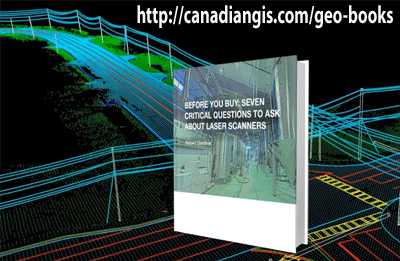
Questions You Should Answer Before You Buy A Laser Scanner
/
0 Comments
Choosing 3D laser scanners should be a quantitative process with significant ramifications for your project deliverables, project workflow, resources, personnel, time and cost. The initial step is to define your deliverable’s specifications and the necessary workflow to create the 3D model, and then match these with the laser scanner specifications.
Before making the final decision to invest in laser scanning technology, be sure to ask the following seven questions to ensure that you have a clear understanding of how the 3D laser scanner specifications, workflow and upfront cost will impact your long-term operations and productivity.

the Geographic Information Systems Professional (GISP)
Over the past few years the term GISP (geographic information systems professional) has become popular as more and more young professionals look for a way to show that they have become more established in their geomatics careers. Find out what you need to qualify for a GISP & why you should.

Mount Royal University Unveils New-Age Mapping Tool
Calgary-based experts are charting a bold new course in geographic education by introducing geospatial software designed for the next generations of tech-savvy learners. The software package, developed with support from TECTERRA, creates 3D maps combining multiple data streams (such as traffic flows, wildlife migration patterns and watersheds) on one digital platform to see how they interact with each other.

Canadian Geospatial Directory
The Canadian Geospatial Directory contains basic information about the various Geomatics related companies found in and around Canada (with some from abroad) including many key aspects such as the companies basic info, contact info, web site info and geographic location.
We started adding content to the directory using our own database of 1000+ Canadian companies and organizations from coast to coast that work in the geomatics field. However, it is time for the Canadian Geomatics community to help us further fill out the directory by contributing more information to existing listings and adding new listings for companies and services that have yet to be included.
All this is free, so find out how you can help add information about your Canadian company or organization ...

E-Book for International Geospatial Job Seekers
The International Employment Guide to Geospatial Careers in Canada is an e-book designed for international geospatial job seekers looking to move to Canada to work in GIS, remote sensing, surveying, geodesy, and geomatics engineering.
This guide brings together a wealth of information and expert advice in one easy-to-read manual.
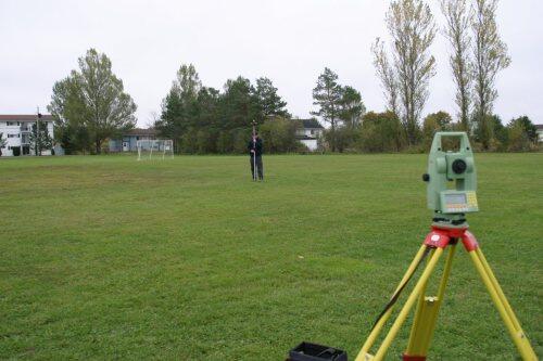
5 most viewed Total Stations
Geo-matching .com is a great website that features a variety of the latest equipment used in the geomatics sector, including total stations. This online service is a great way that allows users to compare various geomatics related product and read other reviews from actual people in the Geospatial sector in order to help them make a well balanced purchase decision.
Is interesting to see the top total stations viewed in February from the geomatics community on Geo-matching.com changed since the last time we posted.
OpenStreetMap User Community
The OpenStreetMap user community had it's two millionth account created last week, reaching another milestone in the continuous growth of OpenStreetMap. A pretty big achievement for the opensource movement and a big step forward for the geomatics sector.
More openstreetmap resources and details available at ...
DMTI Spatial & Intact Financial Awarded Technology of the Year Award
DMTI and Intact Financial Corporation were awarded the Technology Implementation of the Year award for their work in implementing real-time location analytics technology at Canada’s largest insurance company, resulting in a 15 per cent reduction in processing time.

GIS Software category added to Geo-matching
A new category for GIS Software was recently added to Geo-matching's product categories. The site helps guide users through the maze of product specifications and provides them the opportunity to compare products from different suppliers and read other professionals’ reviews in order to reach a balanced judgment before buying.
