The Saskatchewan Upgraded Road Network (SURN) contains all components of the National Road Network (NRN) in Saskatchewan along with railway crossings and private entrances in rural area. Download the data to use in your geospatial projects ...
CityExplorer is the City of Yellowknife's online interactive map tool. With it you can find locations, features and addresses within the city quickly and easily.
It provides the ability to create your own custom maps based on the area you are interested in, the level of detail you want, and even how you want your map to look.
You can then save or print your map as PDF for future reference or send a link of your map to a friend!
NWT Centre for Geomatics provides custom maps, geospatial data creation, analysis and maintenance, data centralization, geospatial web applications, earth observation and software management.
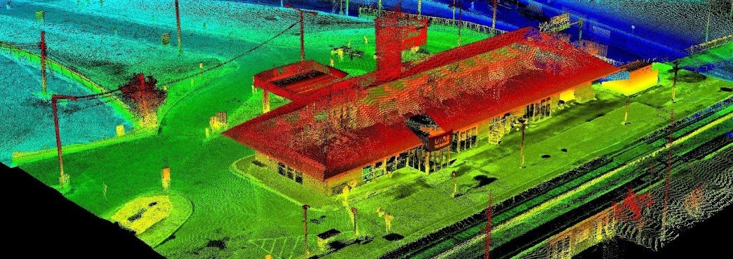
Since starting our Open Data Resources page in 2010, we have received thousands of requests from people looking for various geospatial data to use with their geospatial projects. We now have an ongoing list of places where you can find Canadian LiDAR Data that is available to use for free.
We will continue to add more Canadian LiDAR Data sources as we get them
The City of Ottawa provides free access to many of its data sets through a dedicated data portal called Open Data Ottawa.
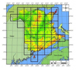
The province of New Brunswick offers a digital High Resolution Wind Resource that they call the New Brunswick Wind Atlas on their Service New Brunswick (SNB) website. The provinces wind data set is tiled into smaller higher resolution thematic maps of New Brunswick matching their topographic mapping network grid and depicting “Mean Wind Speeds (m/s) at 80 m AGL (above ground level)”


