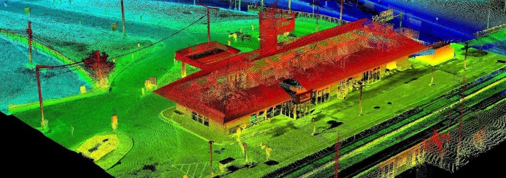
Since starting our Open Data Resources page in 2010, we have received thousands of requests from people looking for various geospatial data to use with their geospatial projects. We now have an ongoing list of places where you can find Canadian LiDAR Data that is available to use for free.
We will continue to add more Canadian LiDAR Data sources as we get them
The OGC (Open Geospatial Consortium) is an international not for profit organization committed to making quality open standards for the global geospatial community.
Strathcona County is committed to enable any member of the public to ‘unleash the value’ within the Strathcona County Open Data catalogue. Individuals, groups or classrooms, businesses or the community at large are some of the users who may find value in the data.
The Town of Okotoks provides a variety of interactive maps, prepared digital maps and GIS data layers.
Alberta Open Data Portal makes data that the Government of Alberta collects on behalf of citizens publicly available. It contains a variety of datasets and publications by government departments and agencies.


