Geospatial Resource
Type of Geospatial Resource
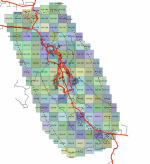
The City of Whitehorse GIS Open Data portal provides various data layers in CAD, GIS, and Google Earth formats. Download data sets related to base map data, transportation, environment, infrastructure, land use planning, municipal data, property, and aerial photography.
Geospatial Resource
Type of Geospatial Resource
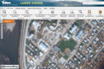
GeoYukon map viewer allows users to search, display, print and download the Yukon Government’s authoritative spatial data. Data is provided as a free public service.


