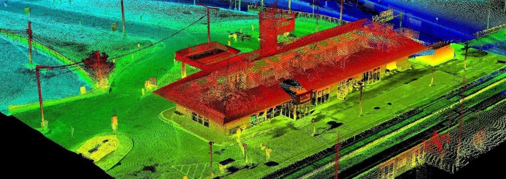
Since starting our Open Data Resources page in 2010, we have received thousands of requests from people looking for various geospatial data to use with their geospatial projects. We now have an ongoing list of places where you can find Canadian LiDAR Data that is available to use for free.
We will continue to add more Canadian LiDAR Data sources as we get them
Beaver Hills, Alberta LiDAR Data - Contains lidar point clouds and derivative products: Classified point cloud, 1m DEM & DSM, Hill shade images.
The City of Montréal promotes information sharing with the community and takes advantage of the collective wealth, by making its data accessible to everyone.
Browse the various MontréalOpen Data available ...
The City of Regina Open Data website provides the public with "self-serve" access to city data/information for download or viewing in different formats. Members of the public can access the information to do data analysis, mapping, chart creation or develop applications.
The Taber Open Data collection includes LiDAR data, digital elevation models, topographic data and much more ...
Utikuma Lake region is located in north-central Alberta. Open data for this area includes high-resolution satellite imagery, digital elevation models, LiDAR, topographic data, boundary data and more.

