Posts

Canadian Open Data and Free Geospatial Data
/
23 Comments
Over the past few years CanadianGIS.com has been highlighting and promoting various cities and provinces in Canada that have done a great job providing data and applications to the public.
We created this page a few years ago to collaborate links of all the open geospatial data info (sites that offer data downloads at no cost and without restrictions), fee based geospatial data, online web mapping applications and other great sources of geospatial information (including National, Provincial and Regional levels).
This comprehensive list of open geospatial data, fee based geospatial data, web mapping applications and cartographic products is a valuable asset to many people (... we get hundreds of emails and requests regarding "Where can I find data for ...?") so we continue to update it with new information and sources of Canadian data sets.
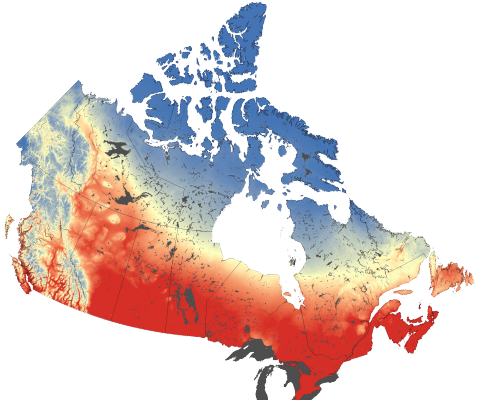
The Climate Atlas
The Climate Atlas of Canada is an innovative tool allowing users to better comprehend climate change in Canada. It combines scientific data, mapping, and stories, and helps encourages action and solutions. The goal of the mapping application is to help make climate change more meaningful and engaging to Canadian Citizens. Check out how this online mapping application is helping to ...

Fundamentals of GIS
GIS is often disregarded when it comes to decision making, but it is in fact an essential part of our everyday lives. Franz Pucha-Cofrep's book Fundamentals of GIS: Applications with ArcGIS provides a comprehensive introduction to GIS and its many applications. It is comprehensive and provides readers with a solid foundation to build upon. A great start for anyone interested in learning more about GIS and its applications. Find out how to download a copy of the Fundamentals of GIS ...
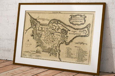
Fortress of Louisburg Maps
Recently we purchased some old maps at a yard sale, and one of the old map books contained a tattered map featuring the Fortress of Louisbourg that we scanned, cleaned up in photo-shop and then reproduced. While searching for the date and source of our map print we also noticed that there have been several old Fortress of Louisbourg maps created and have included a few the links here to share with others ...

Explore nearly 150 years of Kingston History using Maps and Aerial Images
The Snapshot Kingston online mapping application allows people to explore nearly 150 years of Kingston History using Maps and Aerial Images. See how this application is helping citizens better appreciate their history and geography ...
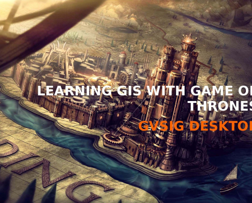
Game of Thrones GIS Data and Maps
The ‘Learning GIS with Game of Thrones’ guide is aimed to encourage people to learn GIS with a user-friendly open source GIS software while having some fun ...
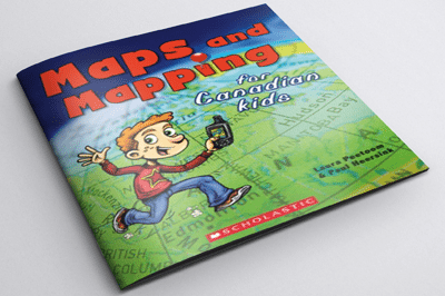
Helping Children Learn Cartography
Maps and Mapping for Canadian Kids is a really great resource for helping children learn cartography. It shows them how maps are made, how they work and teaches them how to read maps including basic principles of navigation and how early explorers were able to chart the world, and Canada in particular.

History of Canada in 10 Maps
A History of Canada in 10 Maps consists of several fascinating stories behind some of the people and maps that helped define Canada.
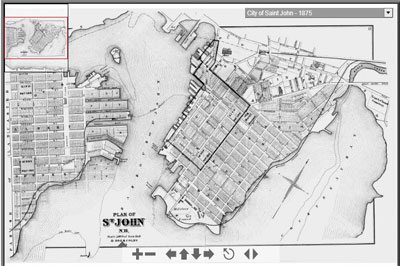
City of Saint John Maps, Plans and Historical Data
The Saint John maps collection includes an interactive atlas from 1875, compiled from official hand drawn plans and surveys. You will also find an interactive map of Historic Coastline and Fortifications and scanned copies of Murdoch-Lingley Survey Plans from 1920. Find out how you can download and use maps and images from the Saint John Historical Maps collection ...
