Posts
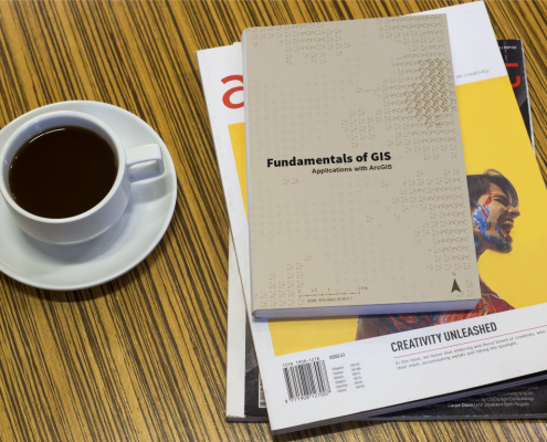
Fundamentals of GIS
GIS is often disregarded when it comes to decision making, but it is in fact an essential part of our everyday lives. Franz Pucha-Cofrep's book Fundamentals of GIS: Applications with ArcGIS provides a comprehensive introduction to GIS and its many applications. It is comprehensive and provides readers with a solid foundation to build upon. A great start for anyone interested in learning more about GIS and its applications. Find out how to download a copy of the Fundamentals of GIS ...
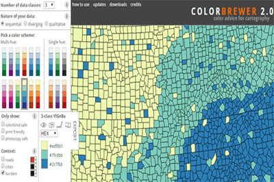
ColorBrewer Color Scheme Selector
/
0 Comments
ColorBrewer 2.0 is a simple online tool that helps you choose appropriate color schemes to use with your online mapping projects. It works with 3 different types of data schemes: sequential (data that ranges from low to high), diverging (data with equal an emphasis on critical values and extremes) or qualitative ( best suited for nominal or categorical data).
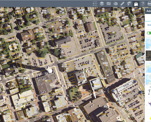
New Improved GeoNB Map Viewer
Service New Brunswick has recently launched a new version of their popular GeoNB Map Viewer, as part of their continued efforts to deliver geographic data to their citizens in a free easy-to-use application.

The most realistic 3D vehicle representation on Google Earth
Civil engineering is about making the world a better place and here at Plexscape we are committed to help engineers by always giving them the most accurate real-world view of their project sites

Python for Everyone – Free Python Training
Python for Everyone is a free online self paced training course designed to help GIS analysts, GIS technicians, GIS specialists, data processors, and anyone else who is new to python and wants to learn how to write python scripts to automate their ArcGIS tasks. It introduces users to the fundamental of python concepts while exploring the python scripting environment found in ArcGIS.
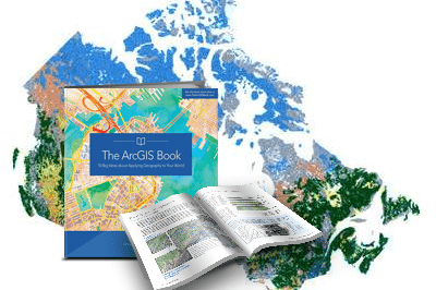
The ArcGIS Book
The latest book from the Esri Press series is a comprehensive hands on guide dedicated to the popular ArcGIS software. The ArcGIS Book is a detailed compilation containing new ideas, detailed instructions, large colorful graphics, photos and plenty of diagrams. There are two versions of the book available, a hard copy paper version and a digital PDF version that offers interaction with an accompanying website. Find out how to download the ArcGIS Book free ...
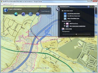
GeoNB – the ‘All Things Geographic’ place for New Brunswick data
Last year I featured GeoNB, New Brunswick’s approach to publicly available geographic information for the entire province of New Brunswick. This valuable resource by Service New Brunswick provides a robust web mapping application, value-added products, various applications and extensive collection of open source data sets. Not to mention an outstanding web GIS application that stands out from others and one that earned them an Esri Canada Award of Excellence award last fall at the Esri User Conference in Fredericton.
GeoNB currently includes a wide variety of data sets for the entire province including digital topographic layers, orthophotos, property maps and much more. On top of having one of the best online mapping applications available they also provide access to download any of these digital data sets in a variety of formats for people to use in their own GIS software packages.
Here is a follow up with more news about freely available geographic information data in New Brunswick and GeoNB.

Python Scripting for ArcGIS
Python Scripting for ArcGIS, released by Esri Press, is a helpful guide created for experienced Esri users as a way to help them get started using python scripting without the need of any previous programming experience. You can check out the exercise chapters that pertain to the chapters in the book before purchasing the book as they provide the exercise chapters that you can get from ...

Houston GIS Training Company Expands to Calgary
TeachMeGIS, a Houston based GIS training company, has recently announced a decision to expand its public petroleum based GIS training classes to Calgary, Canada. This expansion has been expedited by the growing demand for geospatial skills in the industry.
